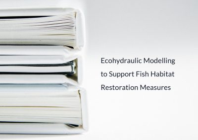
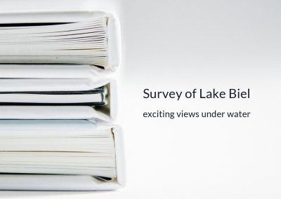
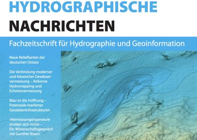
AHM Activities
AHM Activities Archive
Experience all the latest news about AHM, the service and software offer. Browse through the events of the previous years.


AHM video
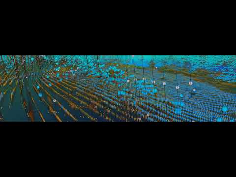
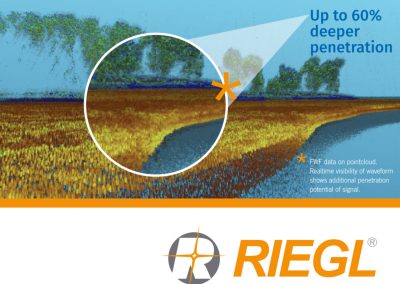
Rhein, Full waveform
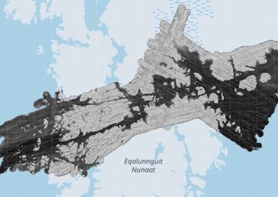
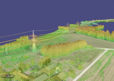
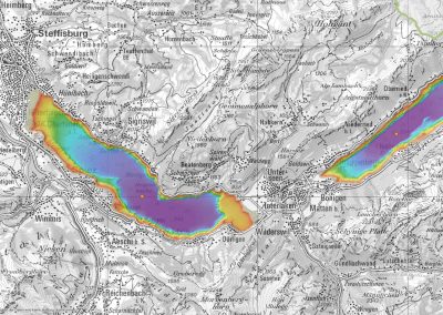
Ostsee 2020
[/et_pb_text]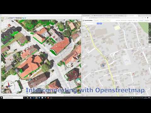
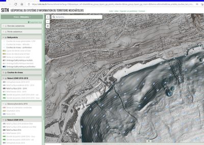
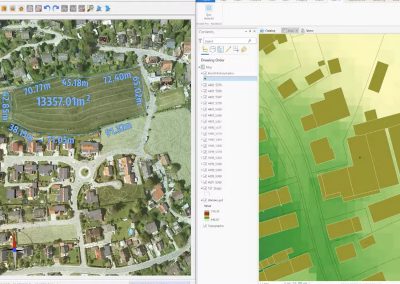
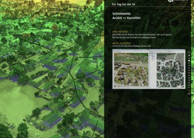
KomVISH
[/et_pb_text]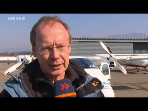
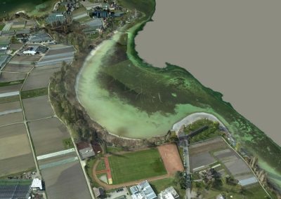
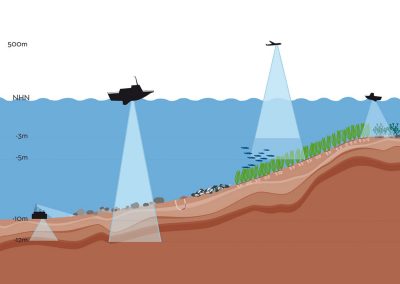
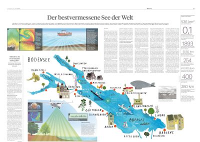
Depth of field – High resolution surveying Bodensee
[/et_pb_text]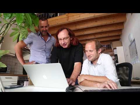
AHM TirolTV June 2017
[/et_pb_text]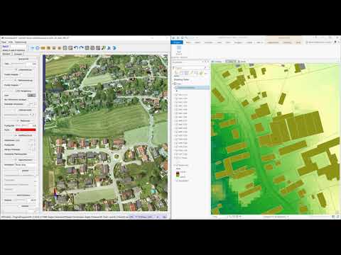
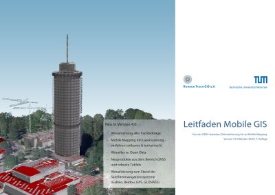
Webinar SC AHM GI KomVISH ArcISPro Geodata 2020
[/et_pb_text]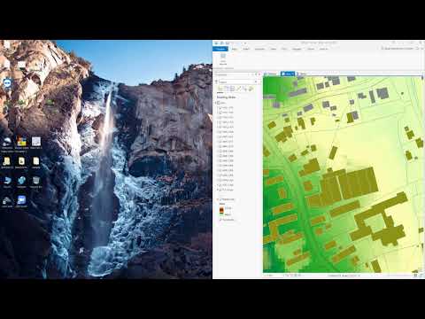
Webinar Steinbacher, GI, IP Syscon – German
[/et_pb_text]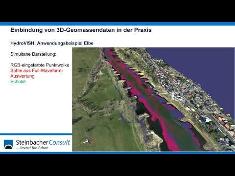
GI MünchnerGIRunde 2020 – German
[/et_pb_text]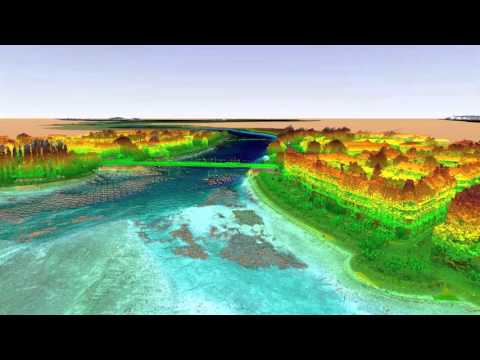
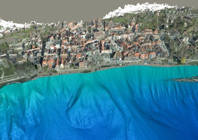
Lake Constance 2015
[/et_pb_text]
Intergeo 2014: AirborneHydroMapping GmbH – Shortfacts
[/et_pb_text]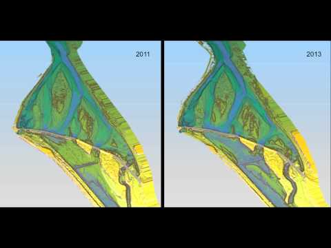
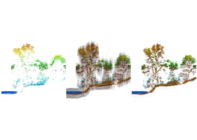
Isar, Munich
[/et_pb_text]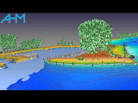
Lake Constance 2014
[/et_pb_text]
Frafjord, Norway
[/et_pb_text]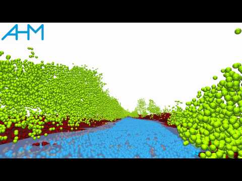
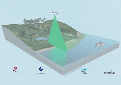
Airborne Hydro Mapping to Telemac2D
[/et_pb_text]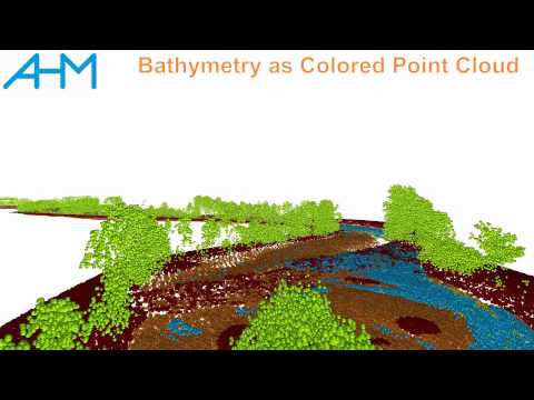
Ahr – South Tyrol
[/et_pb_text]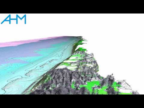
Tisvilde – Denmark
[/et_pb_text]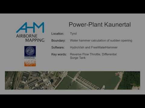
Water Hammer with HydroVISH
[/et_pb_text]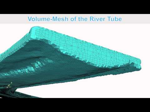
Airborne Hydro Mapping to OpenFOAM
[/et_pb_text]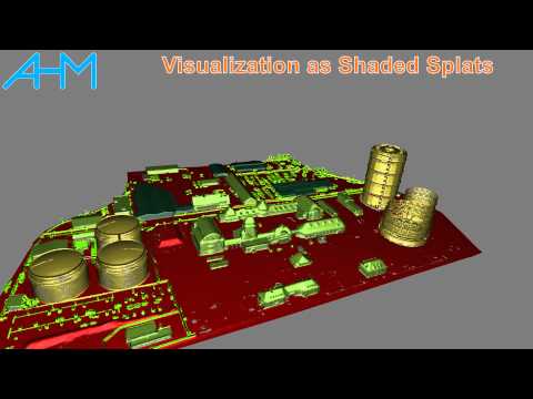
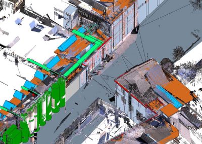
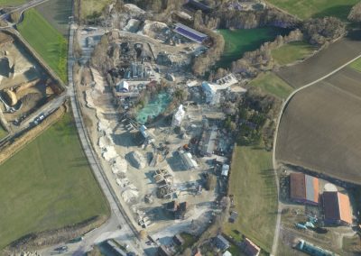
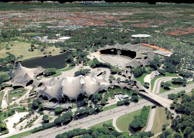
Industrial Complex, near Augsburg, Germany
[/et_pb_text]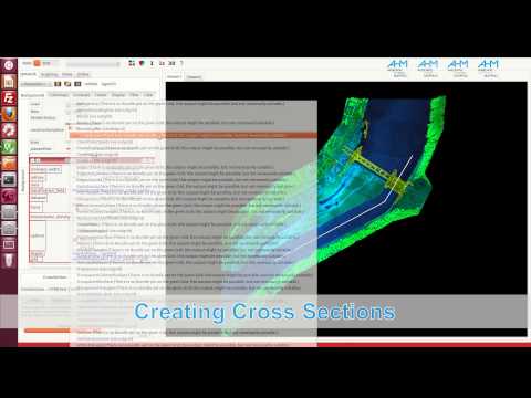
Extracting Cross Section along River
[/et_pb_text]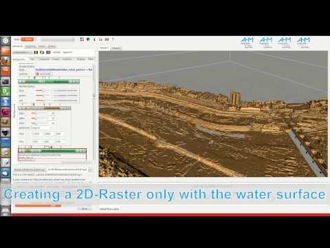
Create a 3D-Volume, Extracting the Water table
[/et_pb_text]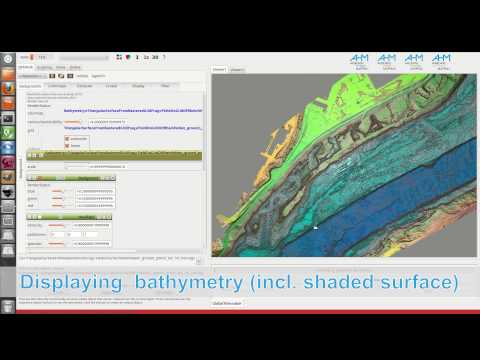
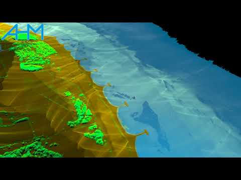
HydroVish: Displaying bathymetry for Power Plant Rheinfelden
[/et_pb_text]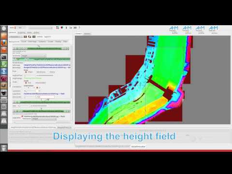
HydroVish: Create raster from point cloud
[/et_pb_text]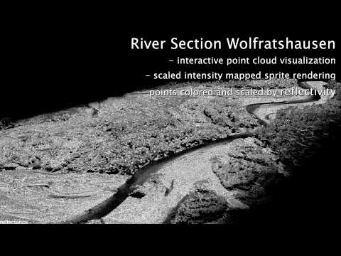
Isar (Intergeo)
[/et_pb_text]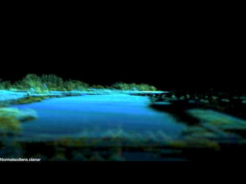
Ammersee (Intergeo)
[/et_pb_text]
AHM (Generaly)
[/et_pb_text]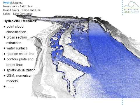
AHM Company 2013
[/et_pb_text]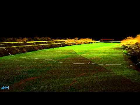
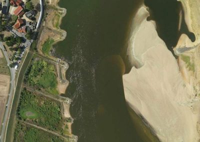
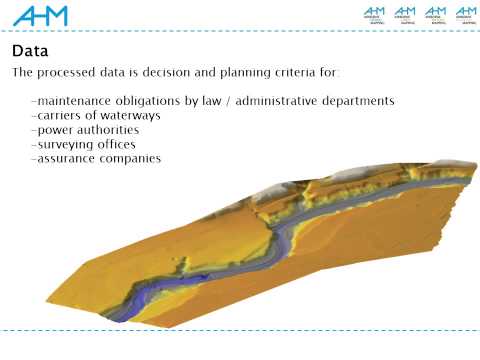
Power Plant Rheinfelden (Germany)
[/et_pb_text]