Software solution for real-time connection of the sovereign geo-mass data of the LDBV
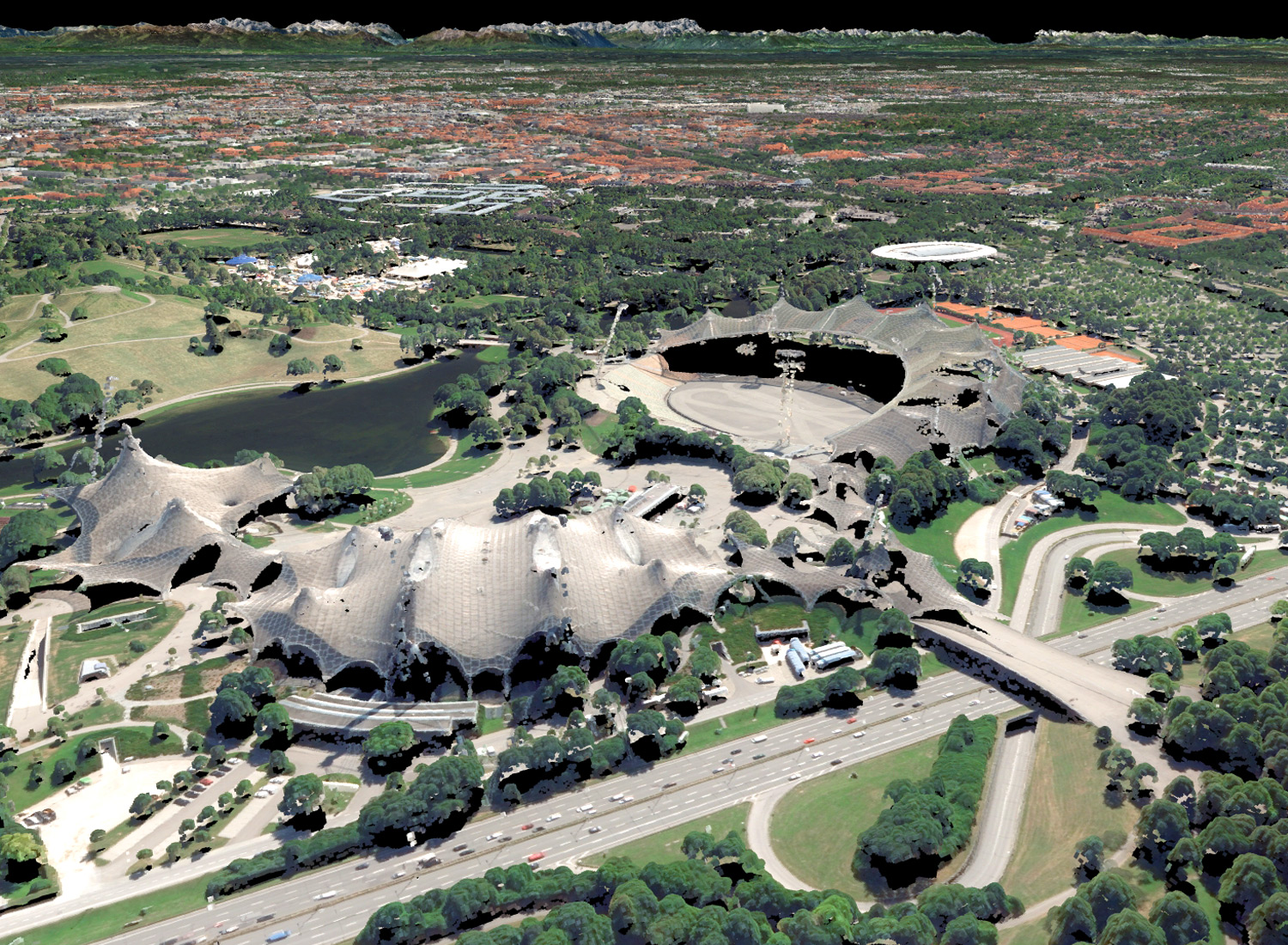
In cooperation with GI Geoinformatik GmbH (https://www.gi-geoinformatik.de), geoinform AG (https://geoinform.de) and Steinbacher-Consult Ingenieurgesellschaft mbH&Co.KG (www.steinbacher-consult.com), AHM and AHM Software GmbH (https://www.ahm.co.at/) presented their software solution for real-time connection of the sovereign geo-mass data of the Bavarian State Office for Digitization, Broadband and Surveying in Bavaria (https://www.ldbv.bayern.de/) to the 2D GIS systems of ESRI and geoinform on December 18, 2017. For the first time in Bavaria, the RGB-LiDAR data set, the Digital Surface Model (DOM), the Building Model (LoD2), the Digital Terrain Model (DGM1) and the property data can be visualized, evaluated and transferred to a GIS system in real time. Thus, these sovereign data are made accessible quickly and flexibly and allow a context-related evaluation to information in the 2D GIS world. This opens up a new form of planning based on LDBV data for individual municipalities, districts, properties, state administrations or planning authorities.
Online presentation: https://prezi.com/gf4je4wvouyz/?utm_campaign=share&utm_medium=copy&rc=ex0share
pdf for download: https://www.dropbox.com/s/tm6fo8qapyswx9z/KomVish_LDBV_ArcMap_KomInfo.pdf?dl=0
