KomVISH
Increase your GIS productivity
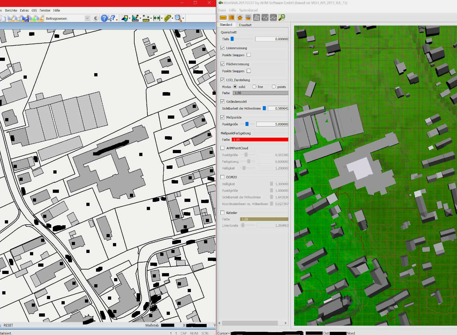
KomVISH is an independently running software with which large laser scan data can be displayed in real-time. Simple interfaces to geoinformation systems allow a fast exchange of lines and polygon courses. The direct laser data can be transferred to GIS in sections.
Supported GIS Systems
ArcGIS
Kominfo
KomVISH Functions Overview
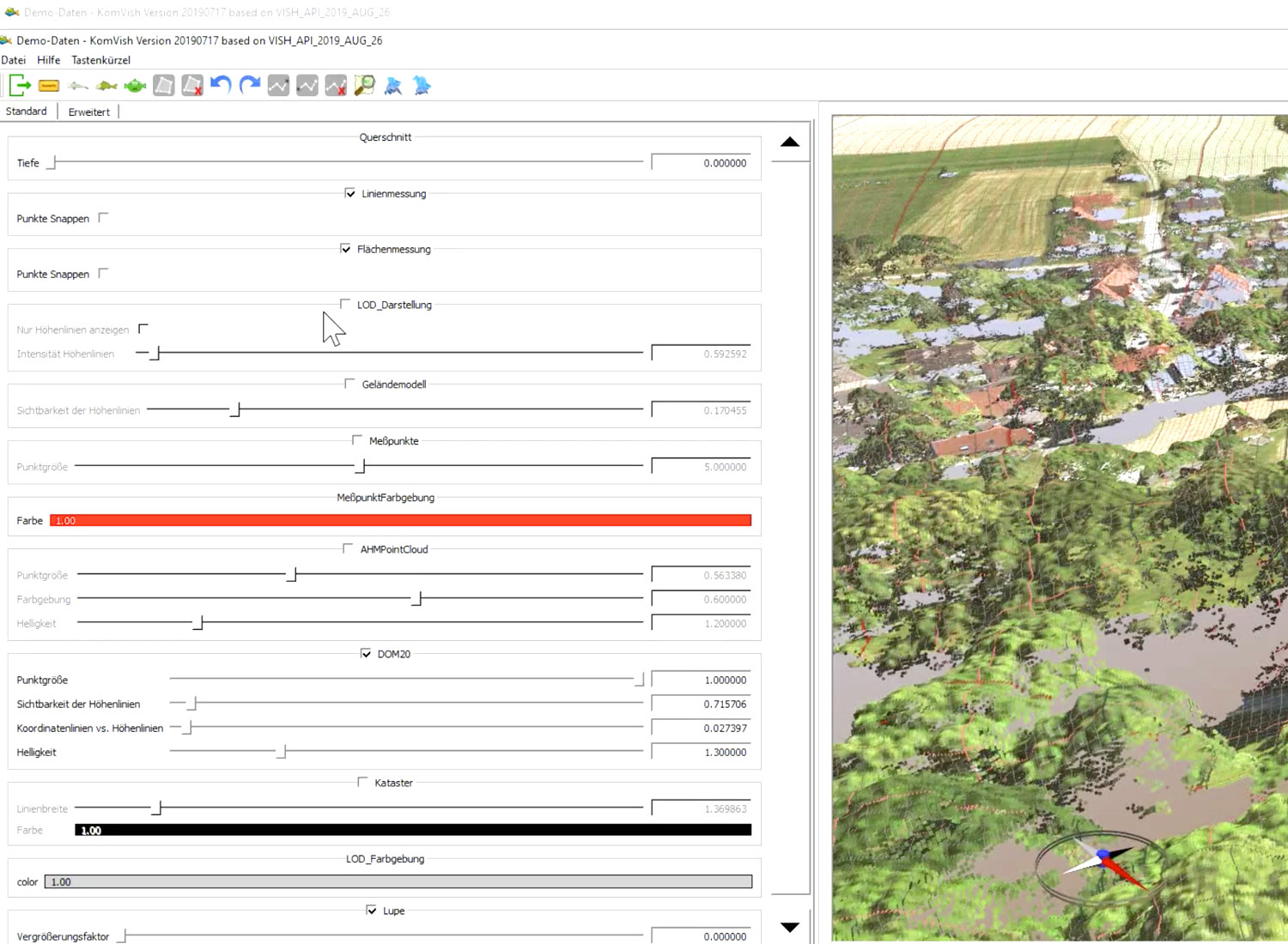
Visualization functions offer more details:
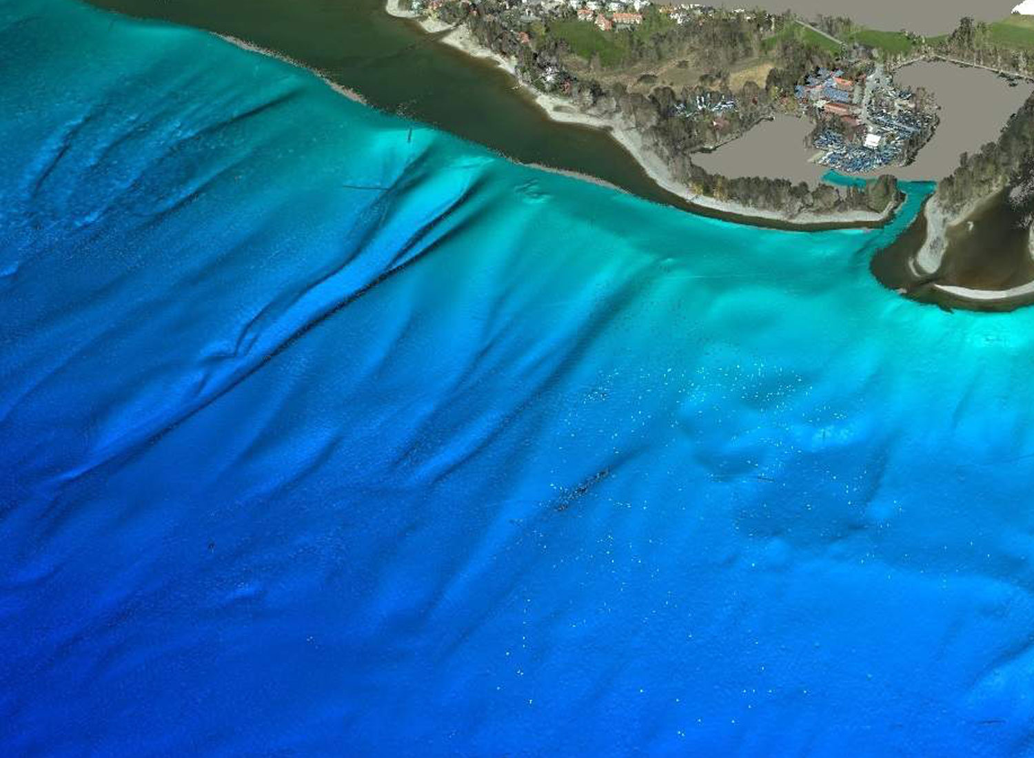
Digital height models
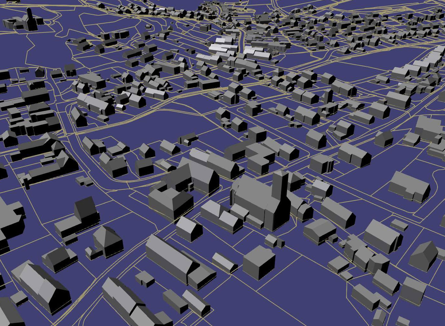
Level-of-Detail Data
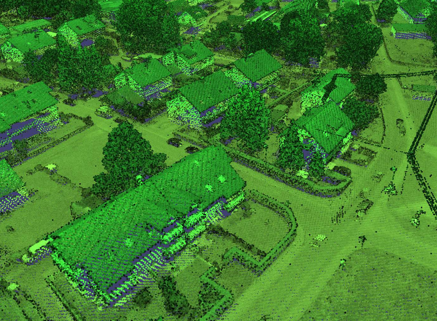
Point clouds from laser scans
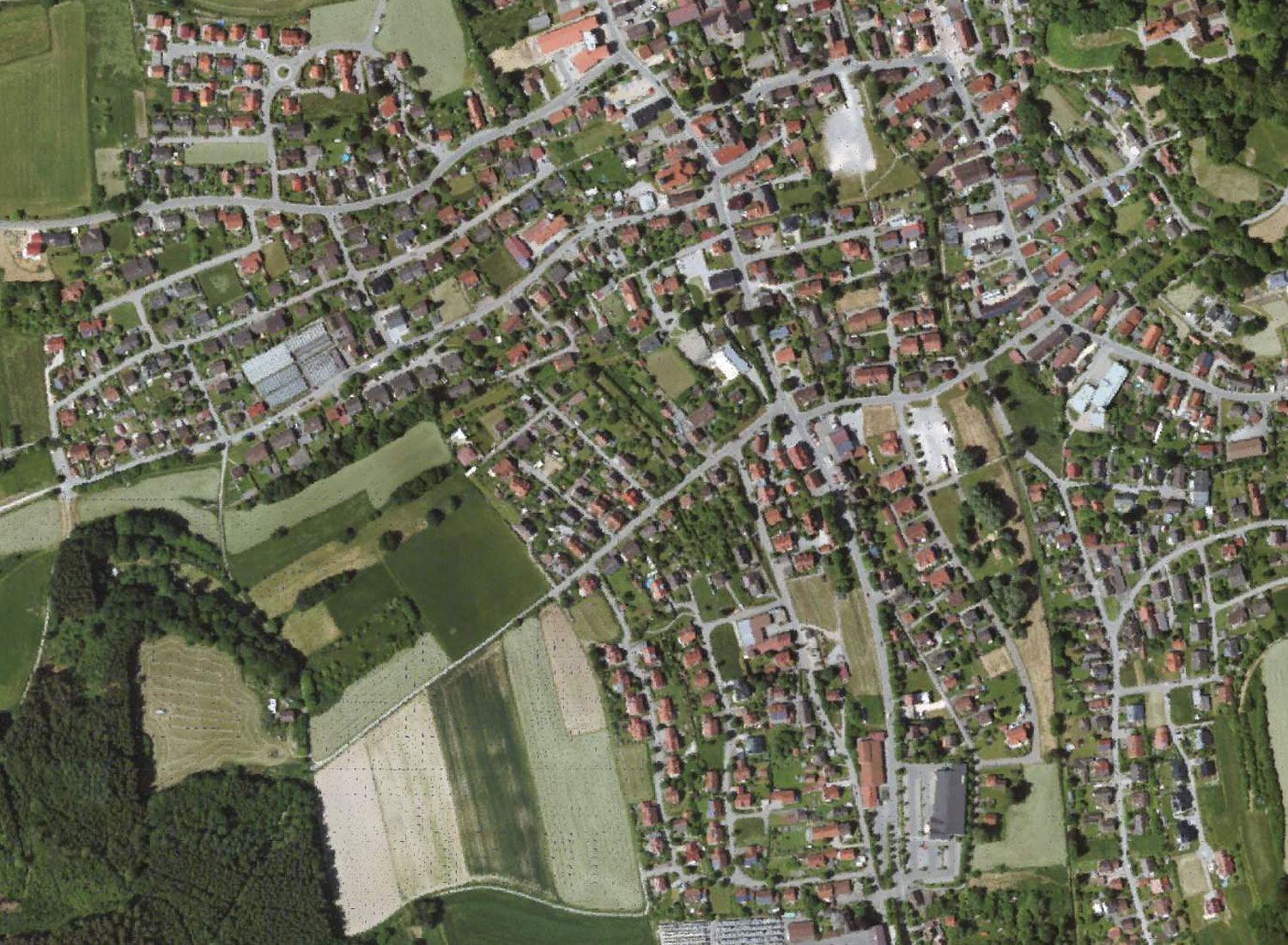
Data from aerial photographies
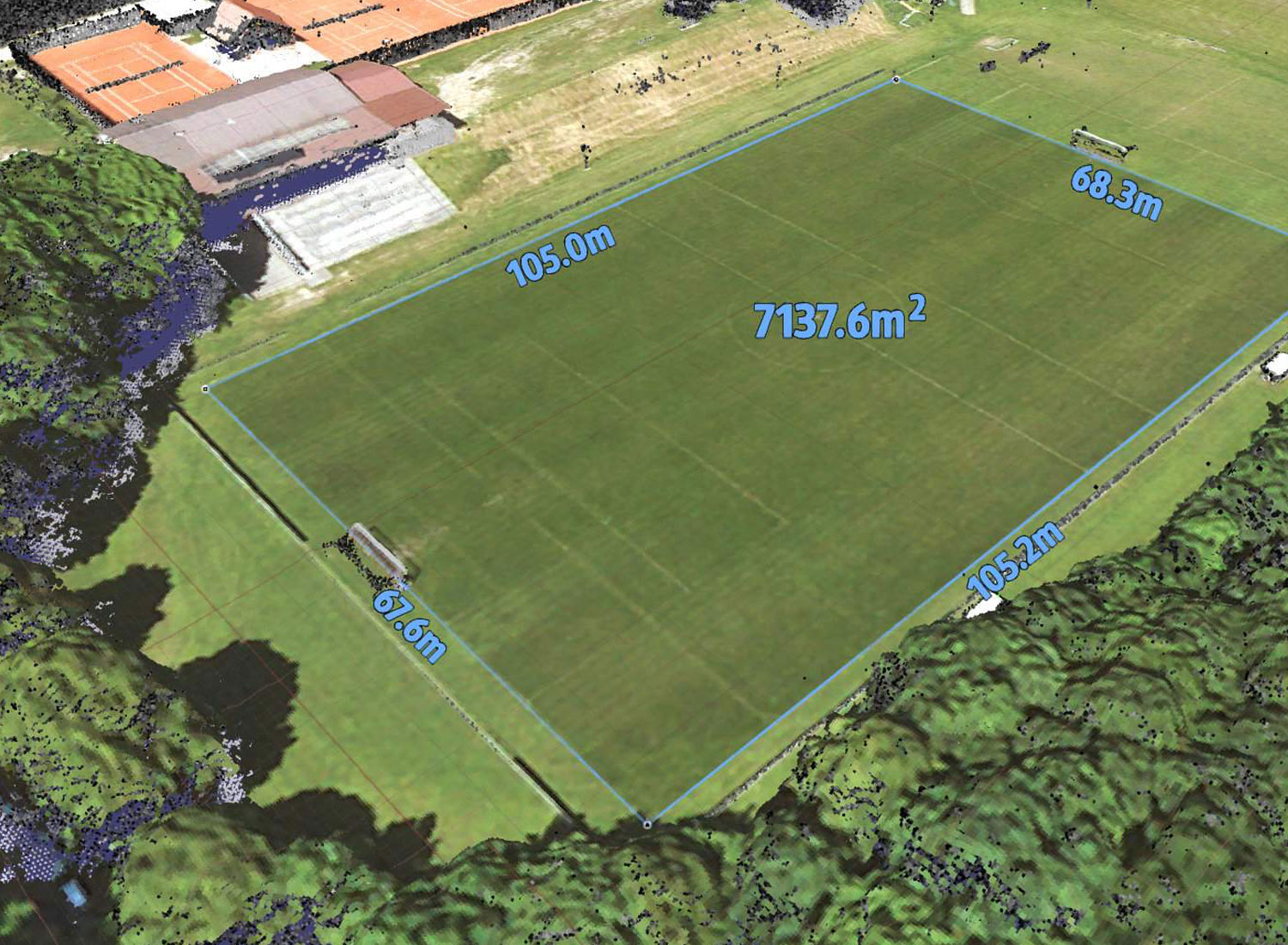
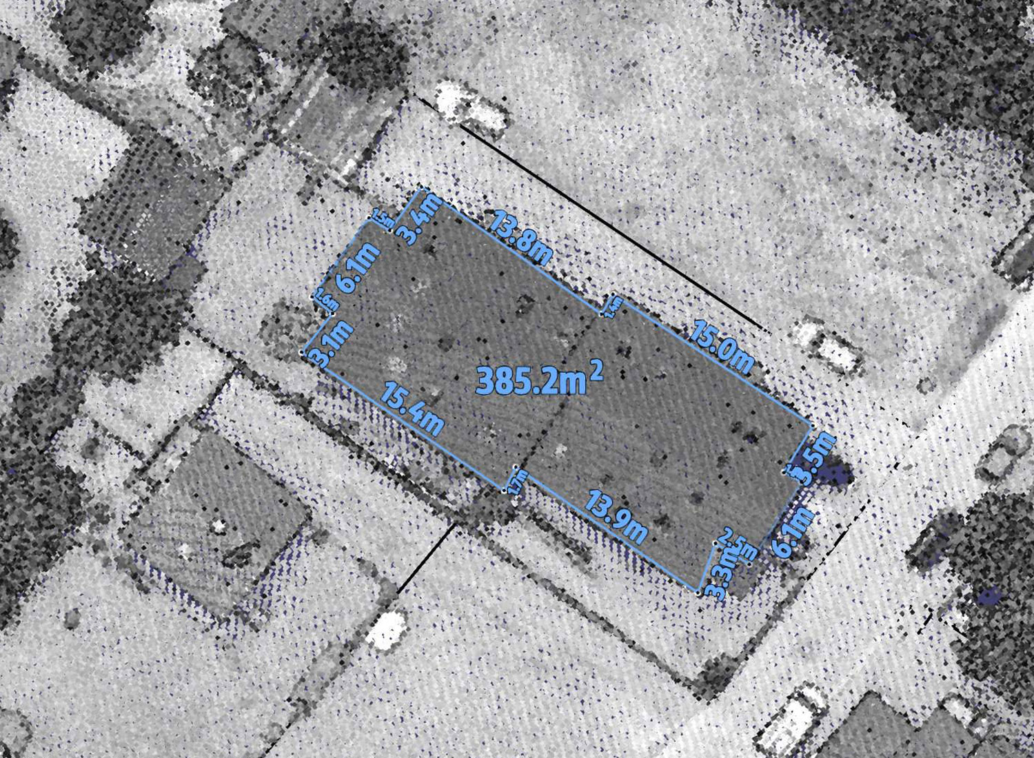
Measurement of lines and areas
GIS exchange of polygons and data export
Interactive functions simplify the work with the data.
System requirements
- PC with Windows operating system version 7 or higher
- 300MB disk space for KomVISH
- 16GB RAM
- NVIDIA graphics card, 970-GTX or higher
- 5.5GB storage space for demo data, SSD recommended
Note: KomVISH is not represented by the Data size limited. Depending on the project size a SSD or a raid system ≥ 500GB recommended.
Demo data
The demo data includes a small municipality and can be used independently or in combination with Kominfo and ArcGIS. They can be installed with the KomVISH setup and contain the following data sets:
- Digital Terrain Model (DGM), 5m resolution
- Field map with height information
- Digital surface model (DOM), 20cm resolution, colored by aerial photographs
- Level-of-detail building data
- Measuring points from a terrestrial survey
- High-resolution point cloud from airborne LiDAR, 5-10cm resolution
