Lake Geneva
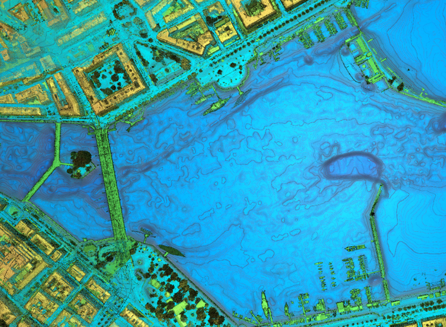
For deriving a new detailed terrain model of Lake Geneva – on behalf of the Swiss Cantons Vaud and Valais as well as the Swiss Federal Office of Topography Swisstopo – a high resolution topobathymetric lidar survey including aerial RGB imaging was performed along the lake shoreline in April and October 2016. The lake ground was captured down to 12m depth. The initial raw data processing on strip adjustment and georeferencing the lidar point cloud was followed by point classification for terrain above water, lake ground and water table. After the refraction and runtime correction was applied, the lidar terrain points (above and below water) had been combined with high resolution echo sounding data, which were acquired by the University of Bern in Switzerland. From the combined lidar/MBES dataset a 2x2m DTM and 2m/10m depth contour lines had been extracted. Additionally, the RGB images (GSD 7cm) from the airborne survey had been georeferenced and delivered.
