KomVISH
3D geo-massdata handling in KomVISH at virtual Münchner GI-Runde 2020
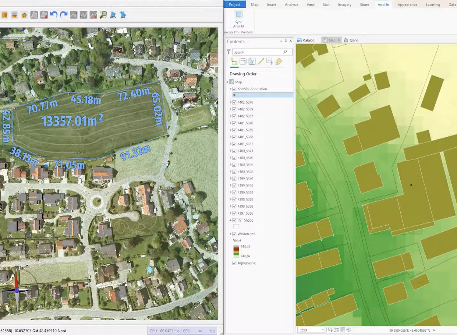
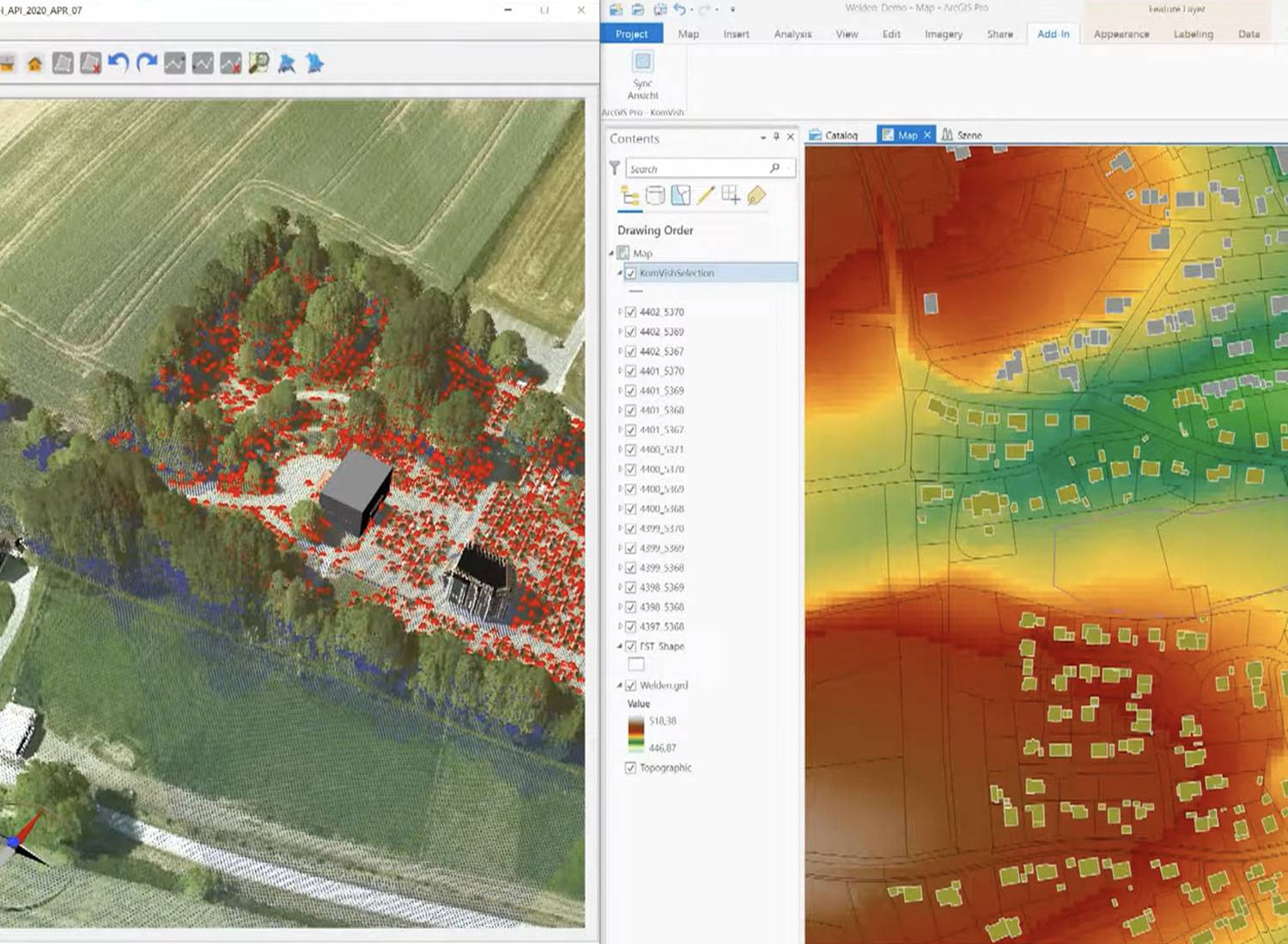
On 6th May 2020, we joined the virtual meeting of the Münchner GI-Runde with 200 participants. Together with Steinbacher Consult and GI Geoinformatik from Bavaria, AHM presented a short webinar and a live talk on handling 3D geo-massdata such as LiDAR, DTMs or LoD2 in KomVISH and ArcGIS Pro. We introduced new functionalities in KomVISH (annotation possibility, linkage to Here map service), and presented practical examples from water engineering and urban land-use planning highlighting the importance of such data.
Webinar:
- GI MünchnerGIRunde – German 〉
- Webinar Steinbacher, GI, IP Syscon – German 〉
- Webinar Steinbacher, GI, IP Syscon – English 〉
PDF:
- Analysis of 3D geo-massdata with practical examples from water engineering and urban land-use planning 〉
- Geo-massdata handling in KomVISH and ArcGIS Pro 〉

