KomVISH
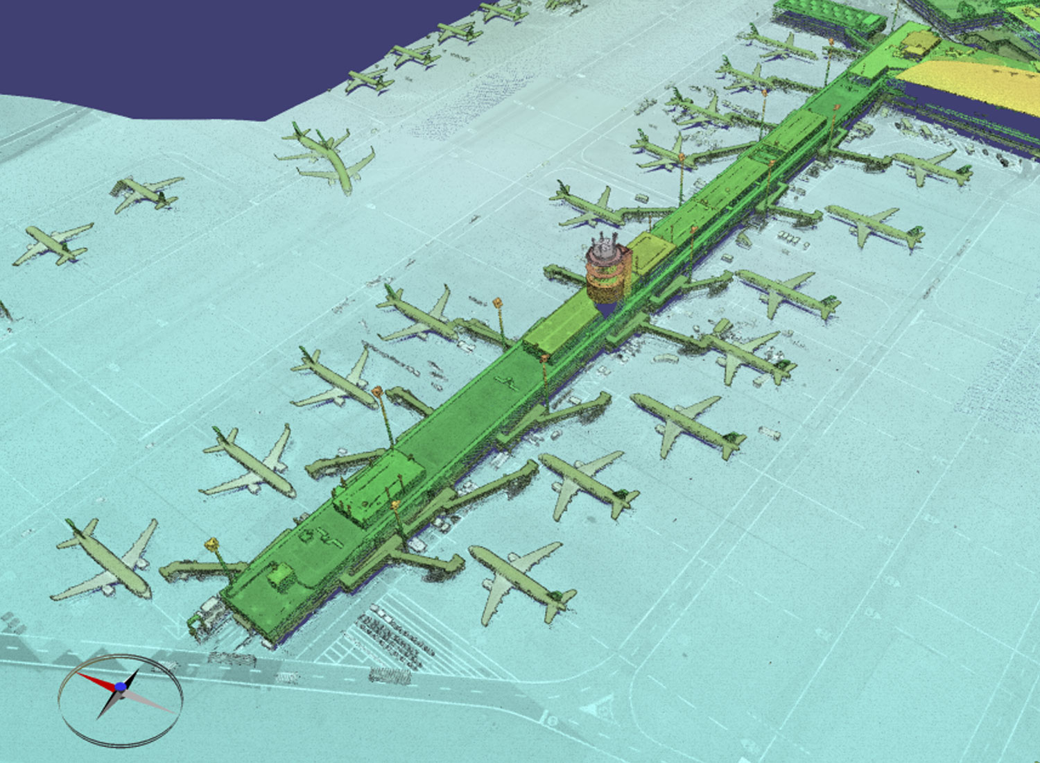
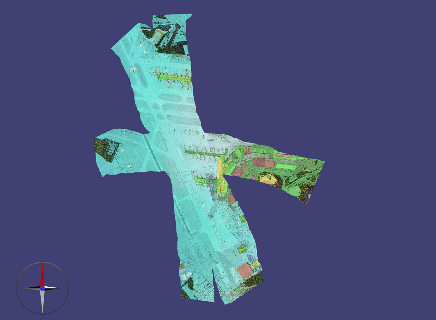
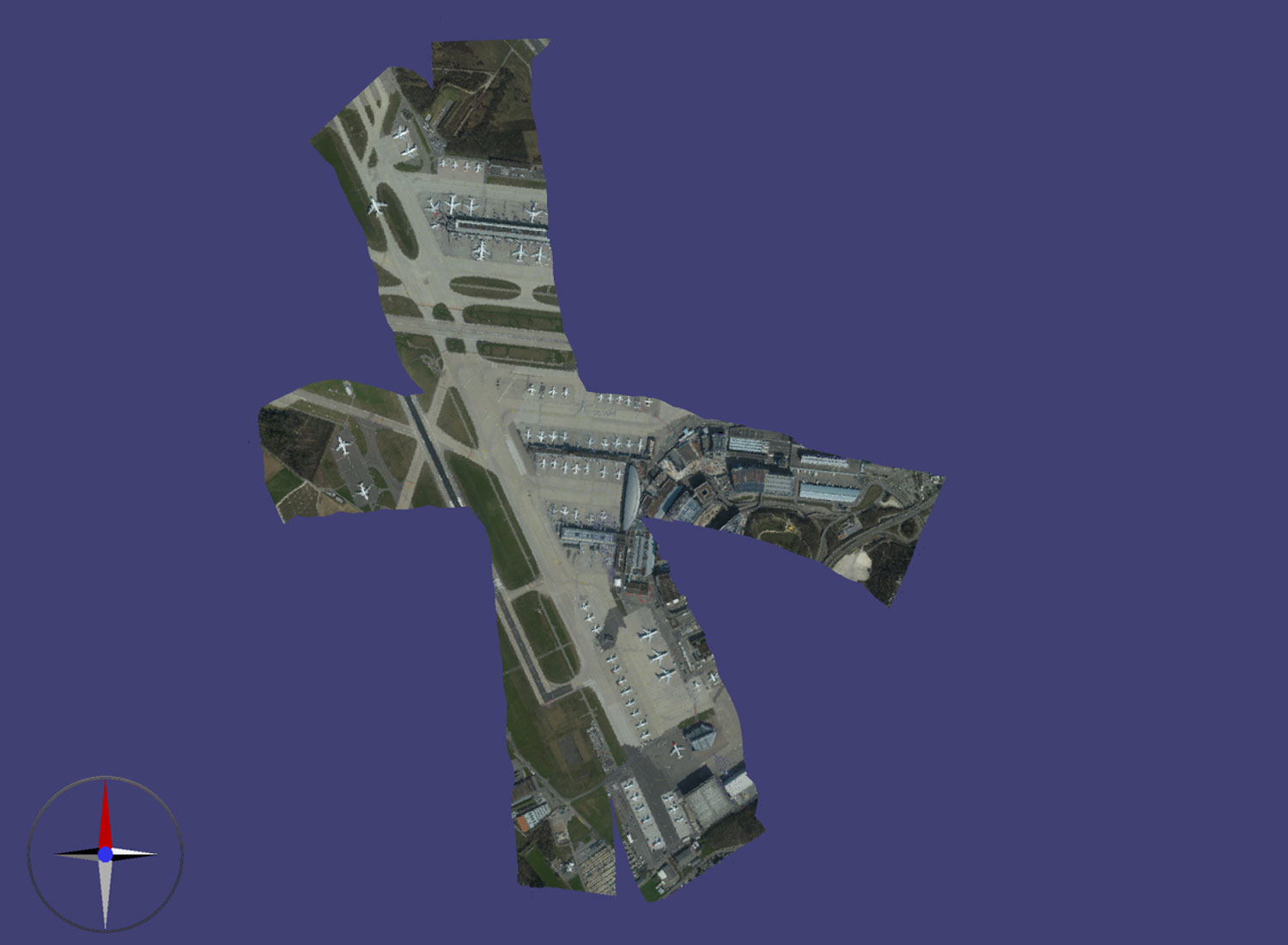
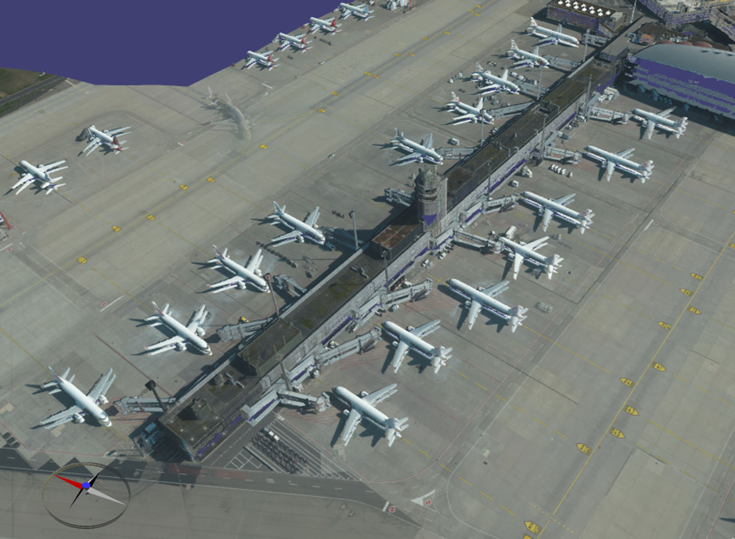
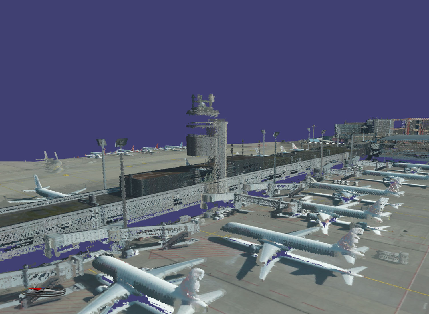
Hi-Resolution 3D airborne laserscan of infrastructure parts of the International Airport of Zurich
Due to it’s given scanner technology and the mission parameters a three-dimensional laserscan of the runway, apron, tower and parts of the terminal was performed.
The laserscan was accomplished by 3D RGB imagery and AHMs technology in colorizing airborne pointclouds by RGB values. The project was provided within KomVish, a highly flexible and high in performance pointcloud viewer which assists further usability task, e.g. data usage in GIS platforms like ESRI.
