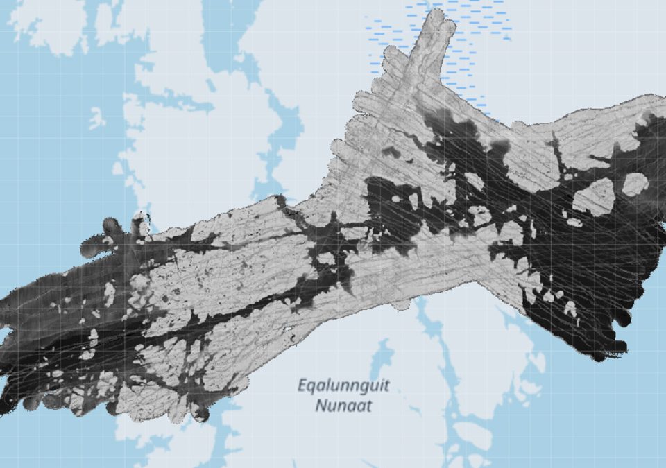
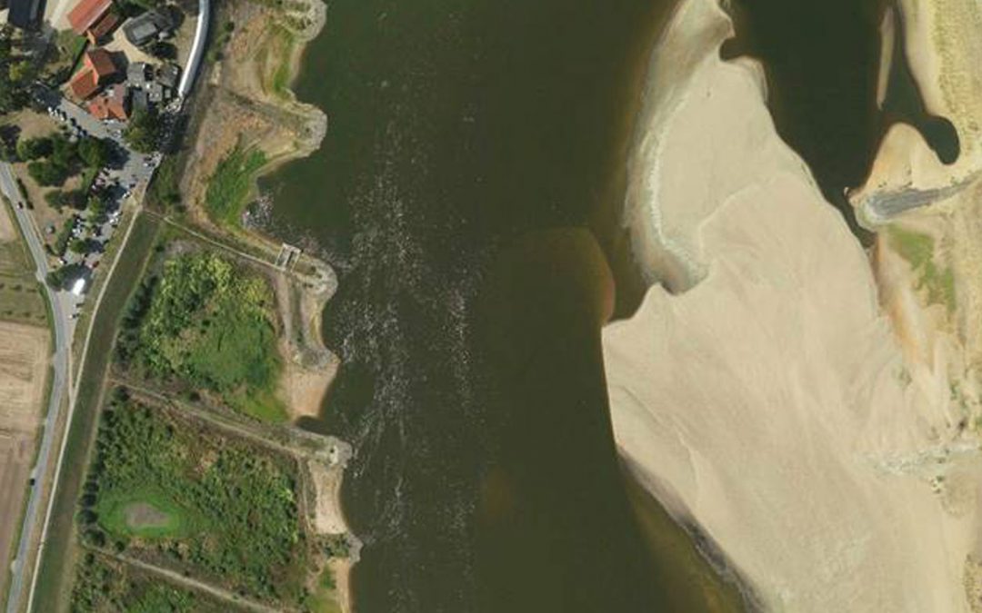
New Opportunities for Capturing the Topography of the River Elbe by Airborne Hydromapping in a Low Discharge Period 2018
Newly published article about using the technology of Airborne Hydromapping for topo-bathymetry capture in the Elbe River by the WSA Elbe Download the full article:New Opportunities for Capturing the Topography of the River Elbe by Airborne Hydromapping in a Low...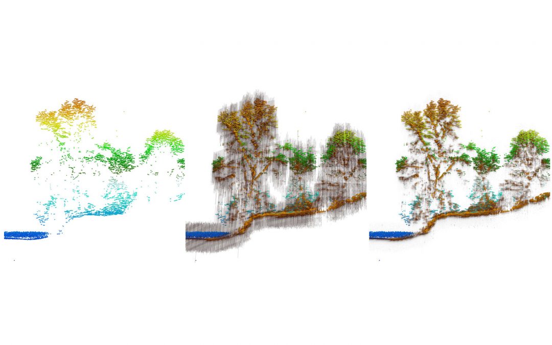
Integrated Full-Waveform Analysis and Classification Approaches for Topo-Bathymetric Data Processing and Visualization in HydroVISH
Newly published article about integrated ALB data processing in HydroVISH by AHM View the journal: Integrated Full-Waveform Analysis and Classification Approaches for Topo-Bathymetric Data Processing and Visualization in HydroVISH Steinbacher, F., Dobler, W., Benger,...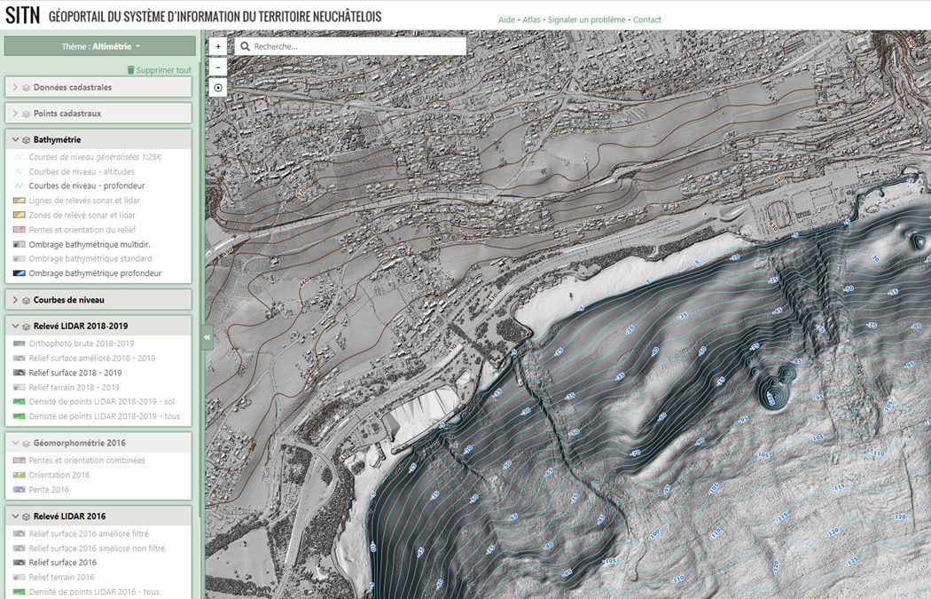
Bathymetry of Lac Neuchâtel: Topo-bathymetric LiDAR and sonar data published online
Bathymetry of Lac Neuchâtel: Topo-bathymetric LiDAR and sonar data published online The Swiss canton Neuchâtel published the combined LIDAR-sonar bathymetric dataset of Lac Neuchâtel online. 2D geoportal: https://sitn.ne.ch/s/g8g3Xhttps://sitn.ne.ch/s/Qi6rD LiDAR...
Neueste Kommentare