River Elbe
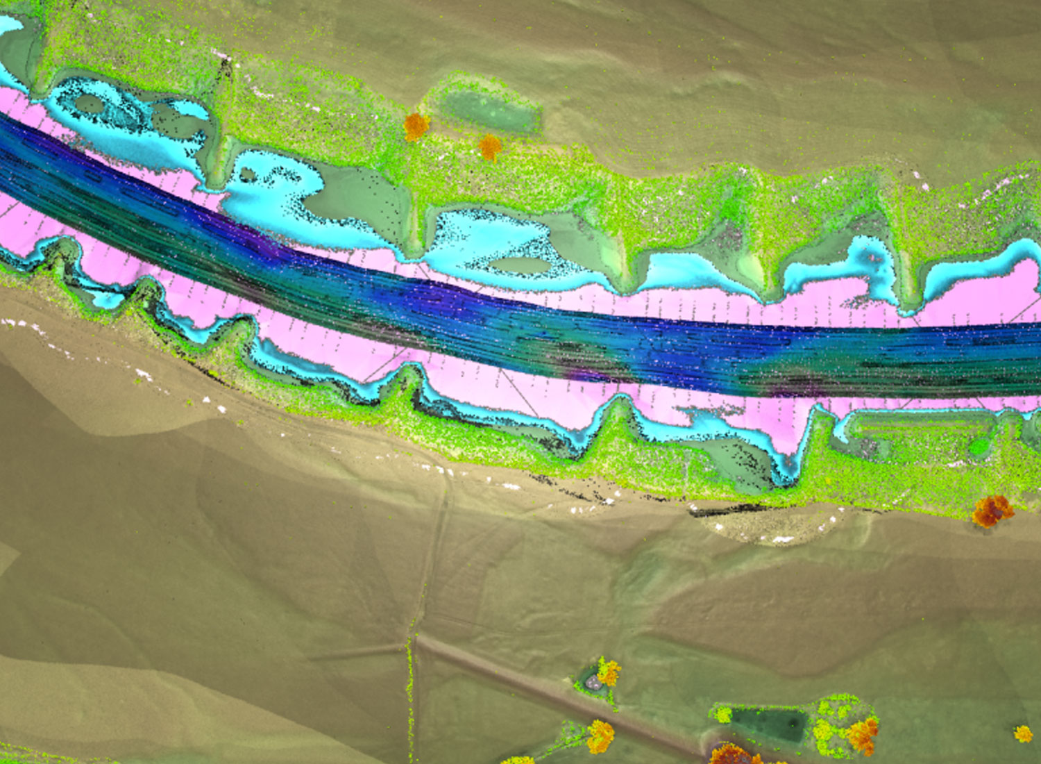
For evaluating the potential of topobathymetric lidar, a pilot project between the German federal water authorities BfG (Bundesanstalt für Gewässerkunde), WSV (Wasserstraßen- und Schifffahrtsverwaltung des Bundes) and BAW (Bundesanstalt für Wasserbau) was established. The topobathymetric lidar survey including aerial RGB imaging along a 15km long section of the Elbe river in northern Germany was performed in two stages in March/April 2014 and September 2015. The raw lidar point cloud had been processed in close cooperation with the Technical University Vienna, Austria, including calibration, strip adjustment and georeferencing. The lidar points had been classified to terrain dry, water ground, water table, vegetation/housing etc. After applying the refraction and runtime correction, the lidar terrain points above and below water had been combined with echo sounding data provided by the WSV. In the following, a detailed 0.5×0.5m DTM grid was extracted from the combined lidar/MBES data, which was thinned according to morphologic ascpects to derive a TIN. Data extraction and modelling further included the extraction of cross-sections, groin longitudinal profiles, surface modeling, and roughness area mapping. Latter was based on digital orthophotos generated on base of the acquired RGB images (again in cooperation with Technical University Vienna, Austria).
