Bringing together two worlds
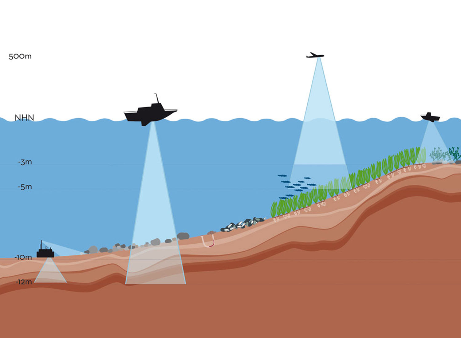
Seabed mapping experts from the ECOMAP consortium travelled from the Baltic Sea to the alps to receive training from the Airborne Hydro Mapping company AHM being located in Innsbruck in Austria. Traveling into the alps to strengthen marine mapping seems to be a paradox, but AHM established as a leading expert on LiDAR measurements of fluvial, limnic and coastal areas offering high-level spatial data capturing and analysis. The strategic goal for ECOMAP was to generate synthesis between the two separate worlds of bathymetric LiDAR (Light Detection And Ranging) and shallow water MBES (multibeam echosounder systems). Next to special training for AHM in house LiDAR data processing and visualization, we identified many cross-cutting topics. Therefore, bringing the LiDAR and MBES worlds together, we foresee a large mutual benefit in terms of data analyses, processing, and interpretation. In the near future we aim for strengthening our collaboration with AHM and are curios about the upcoming ECOMAP LiDAR overflights scheduled for February and June 2019 in the Western Baltic Sea.
For more information, see:
ECOMAP
