KomVISH
Topobathymetry of Lakes Thun and Brienz published online
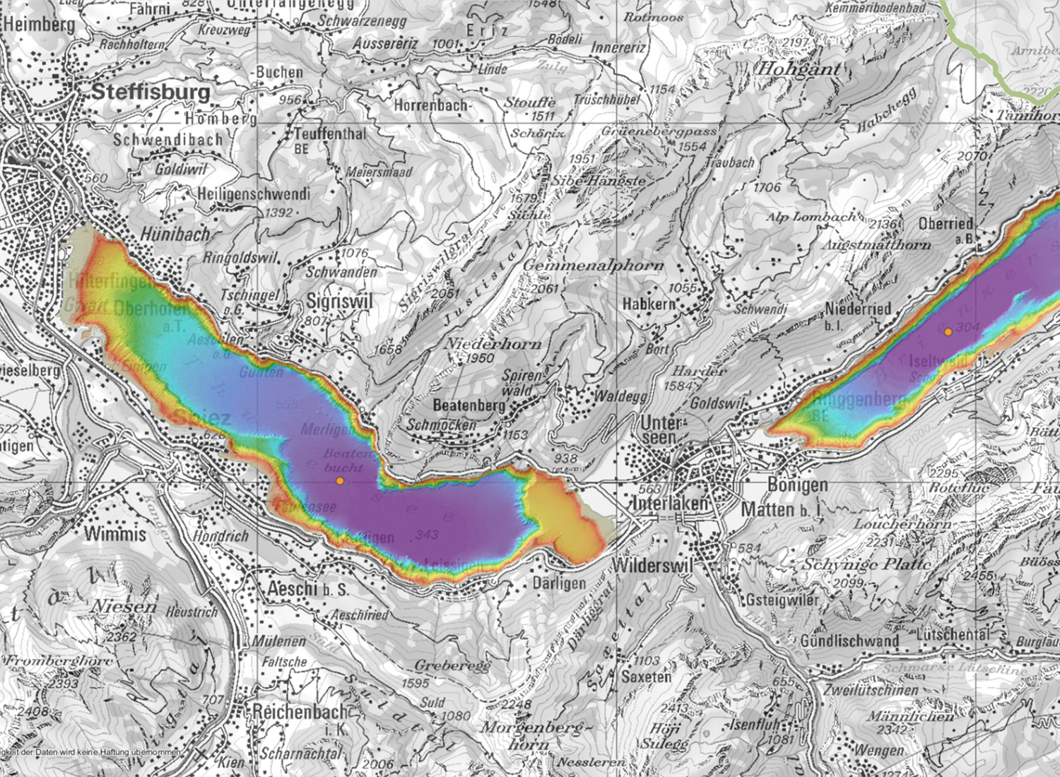
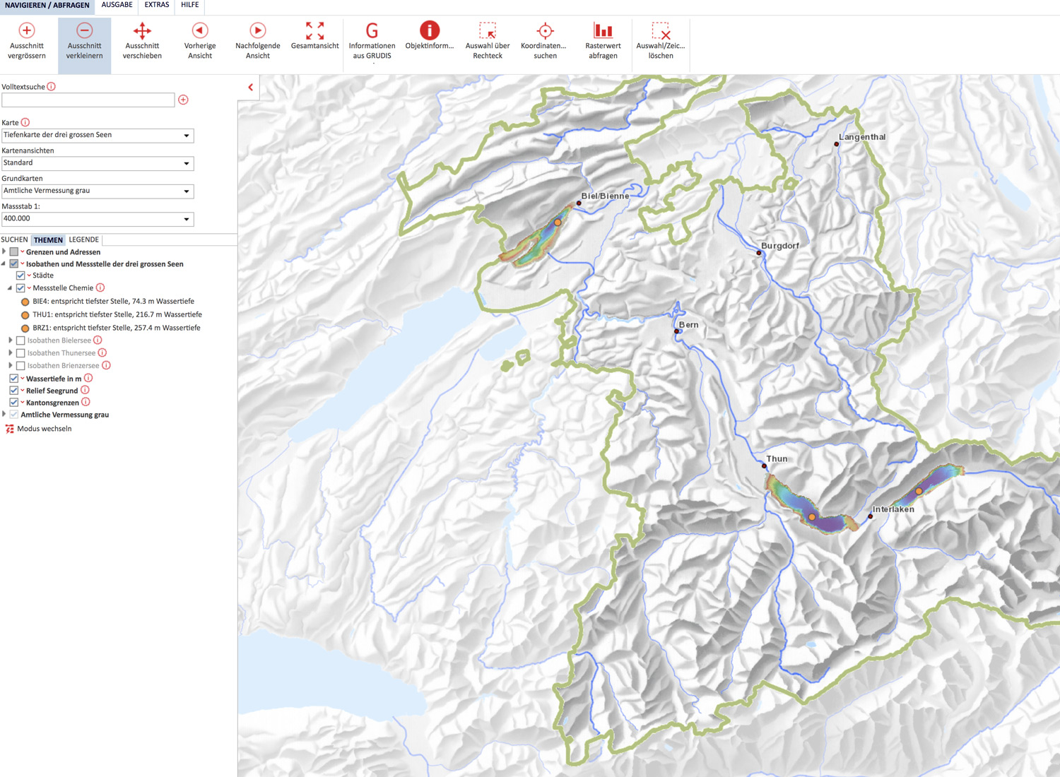
In 2019, AHM performed a topobathymetric lidar survey along the shorelines of the Thuner and Brienzer Lakes in central Switzerland. The classified terrain points were then combined with echo sounding data to generate high-resolution terrain models of both lakes. The final datasets are now part of the cantonal geoproduct “Tiefenkarte der 3 grossen Seen” and are published online:

