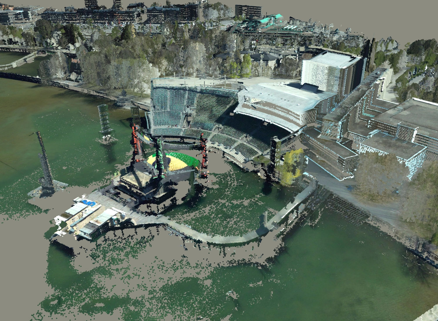
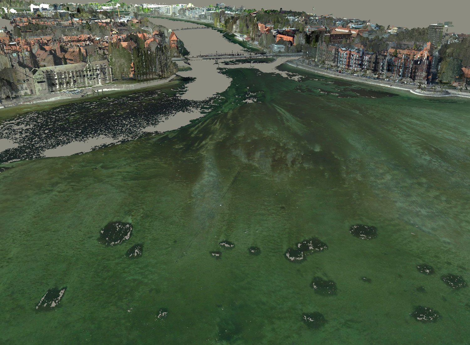
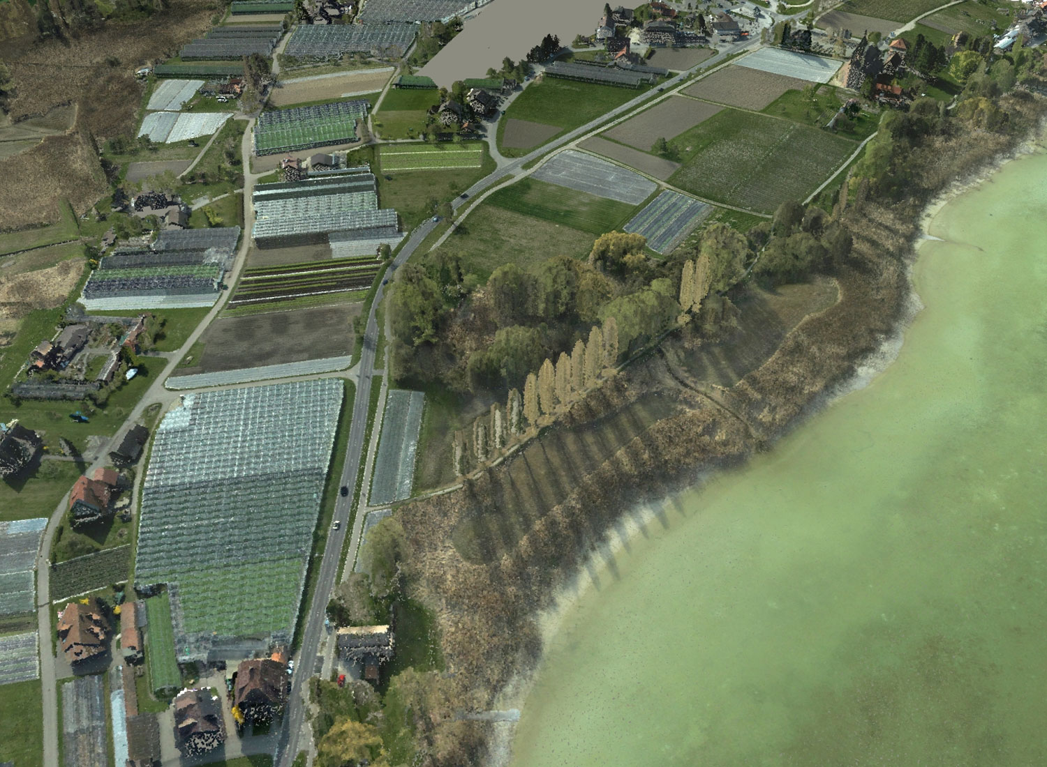
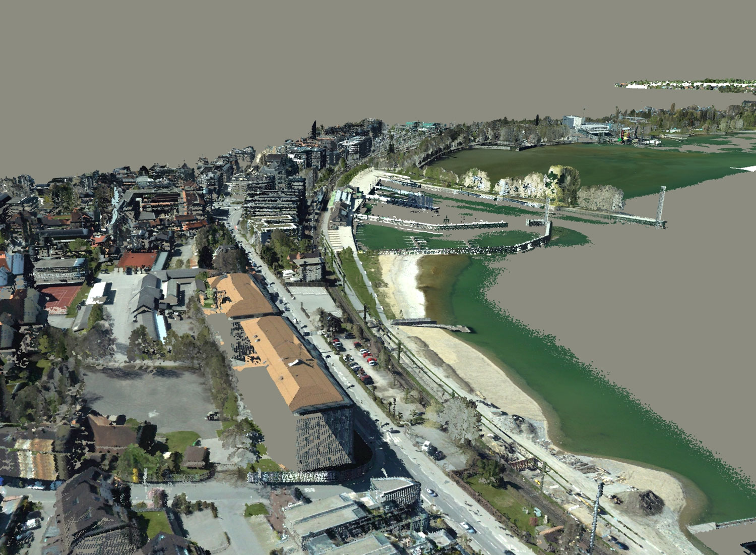
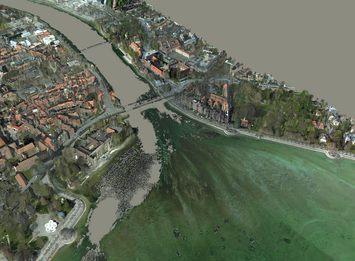
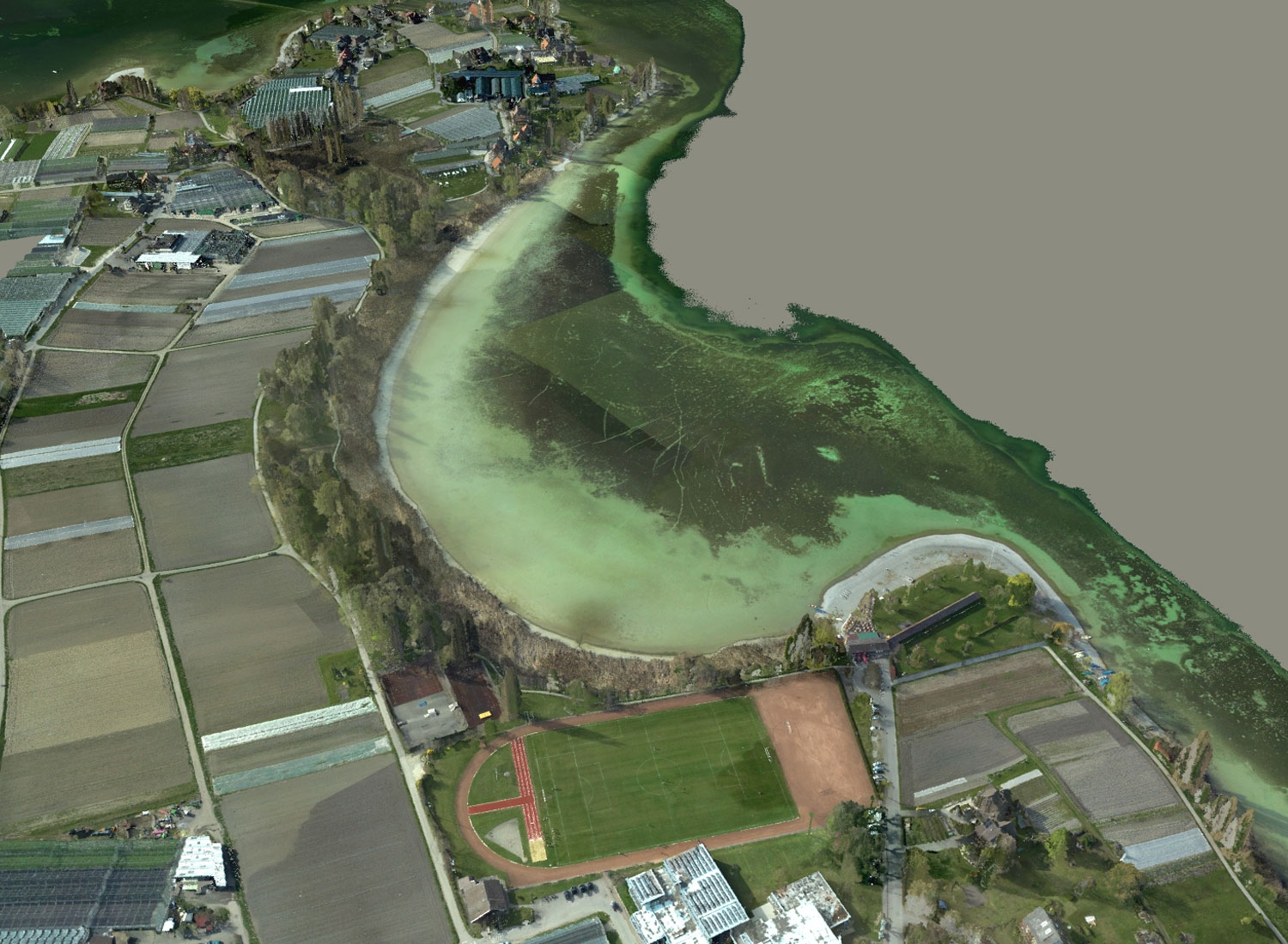
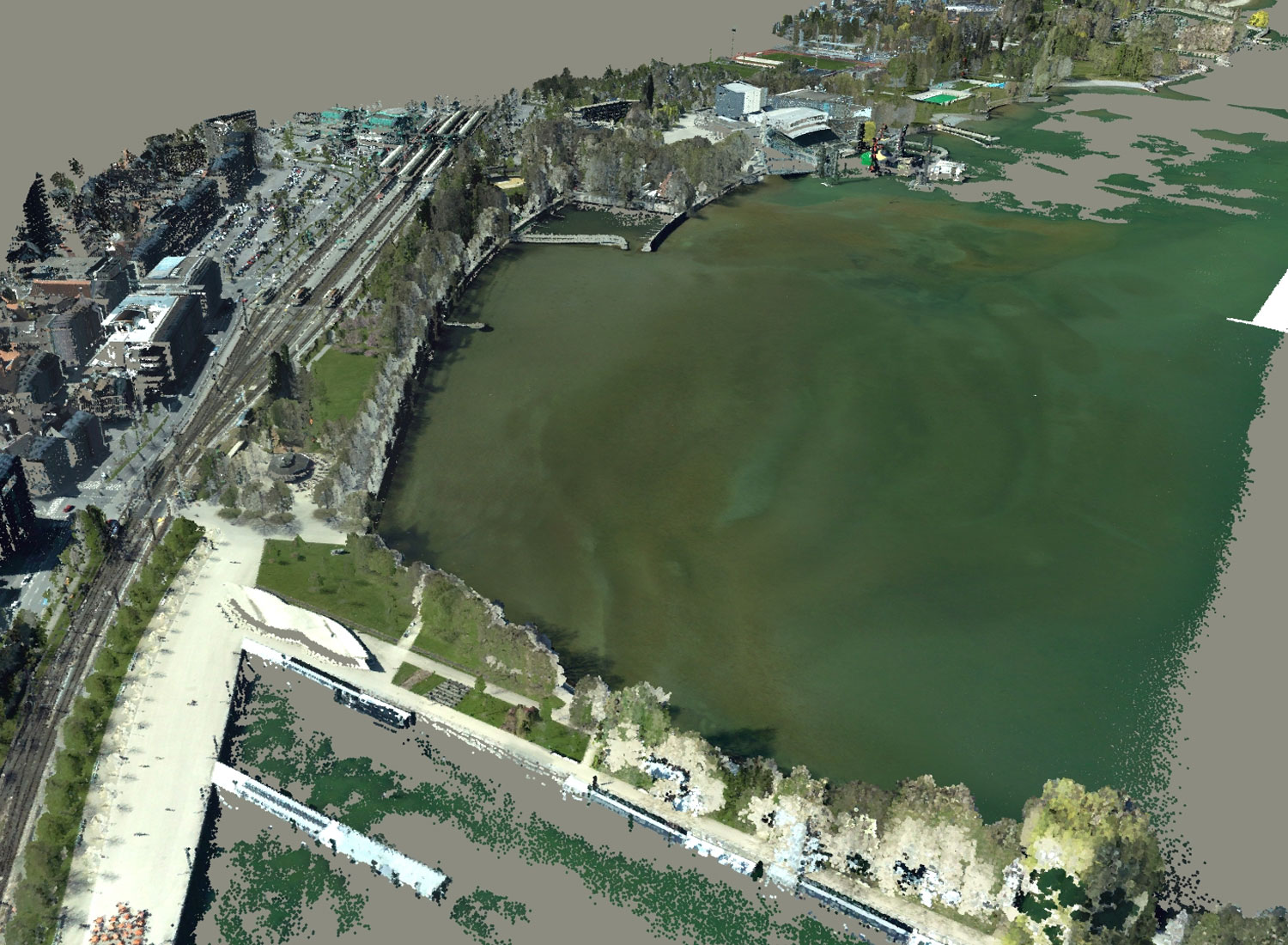
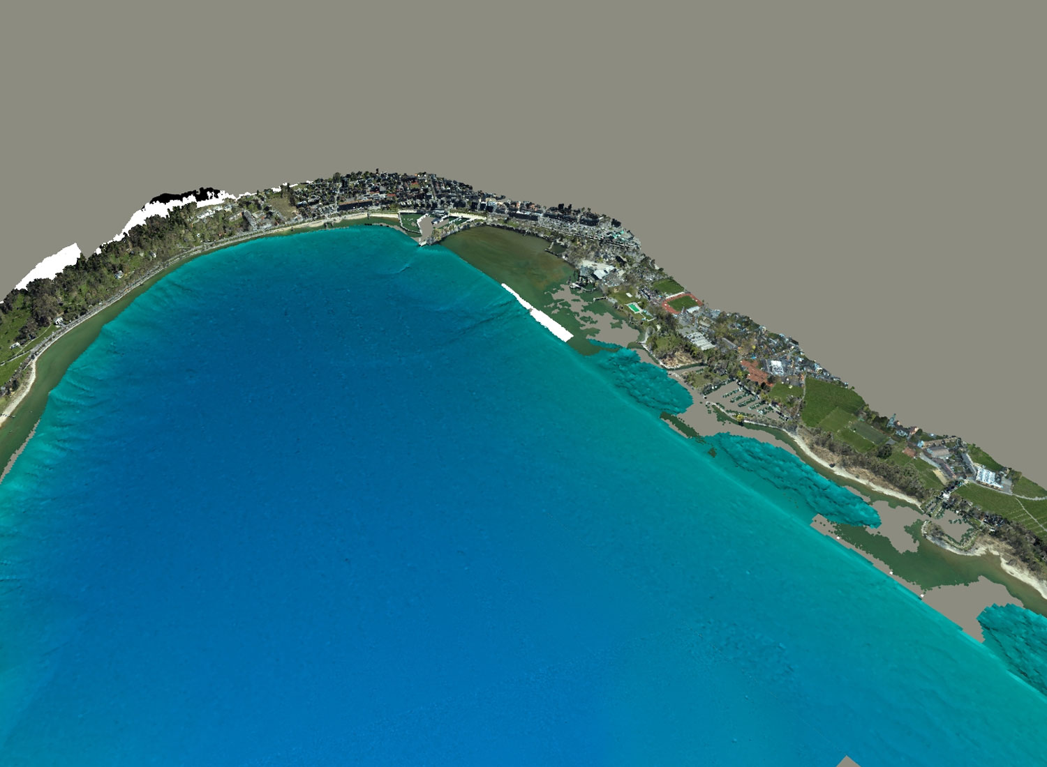
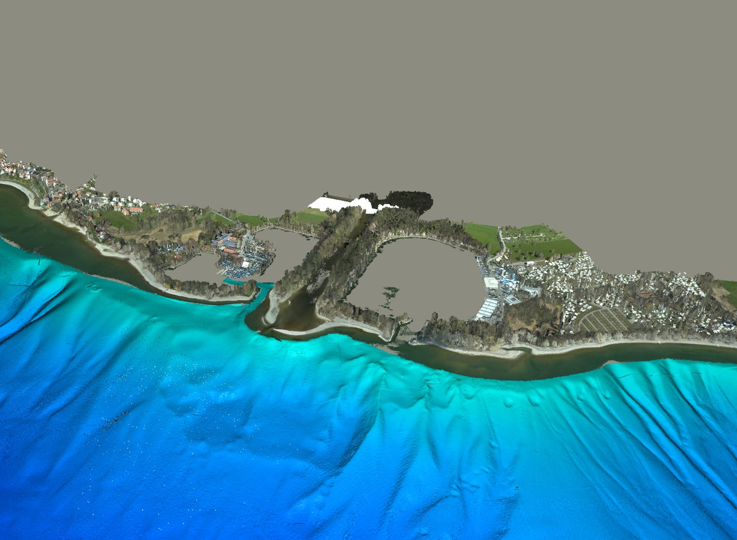
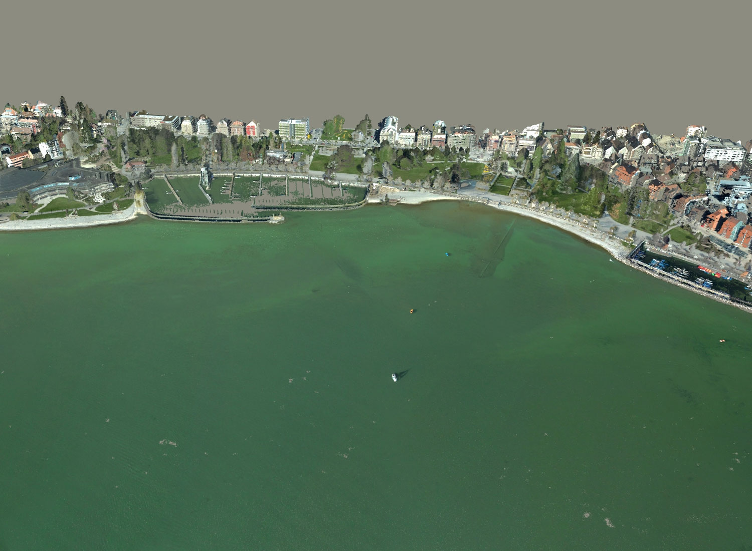
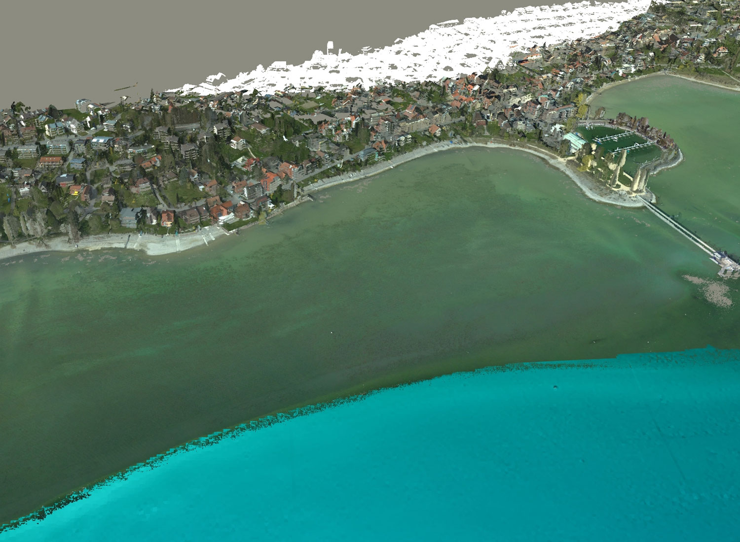
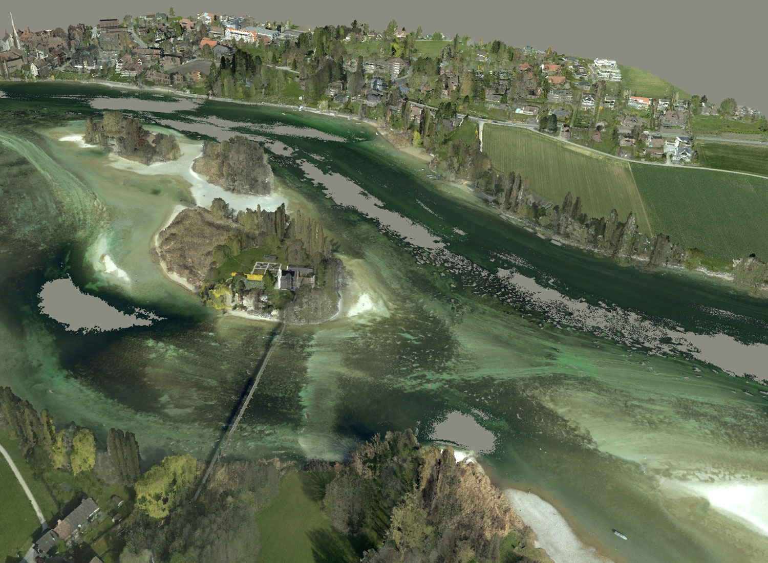
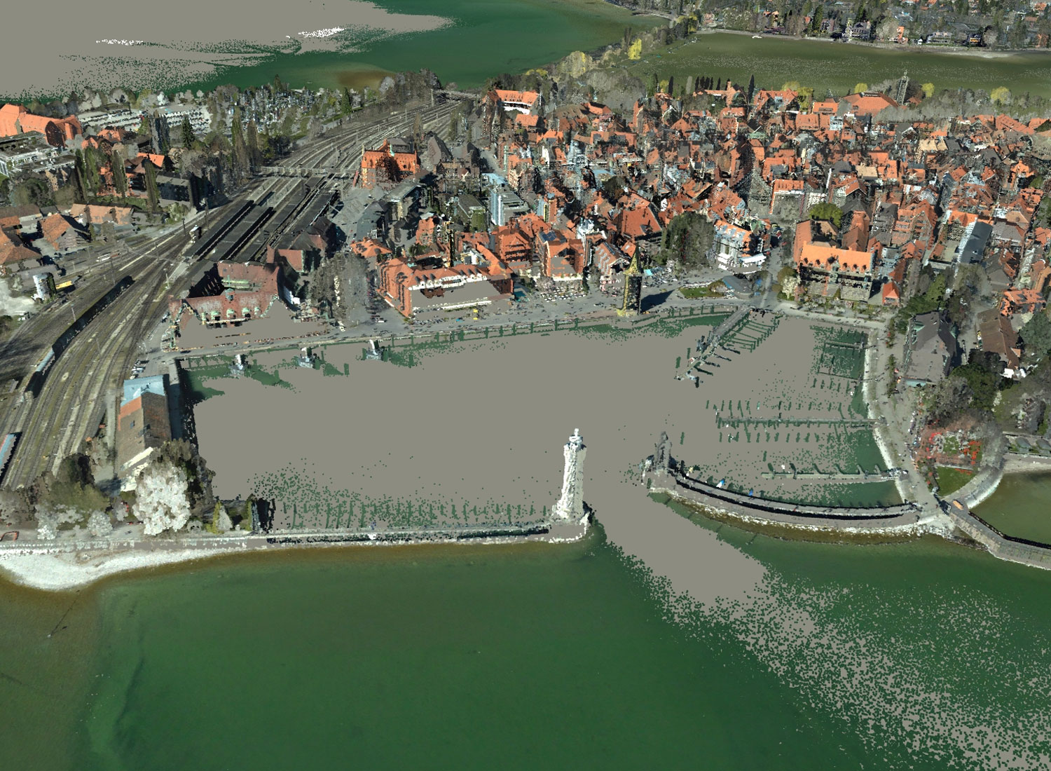
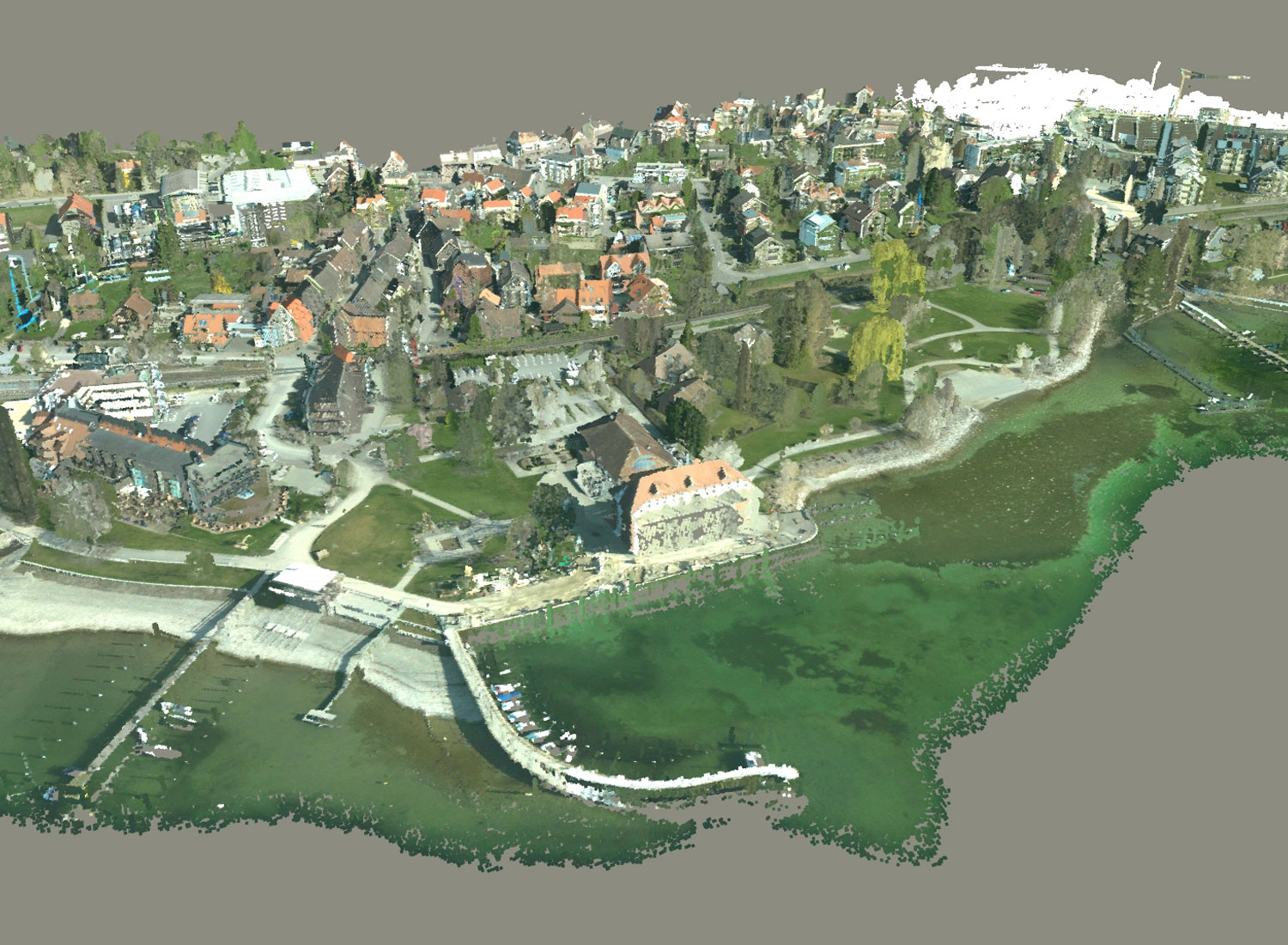
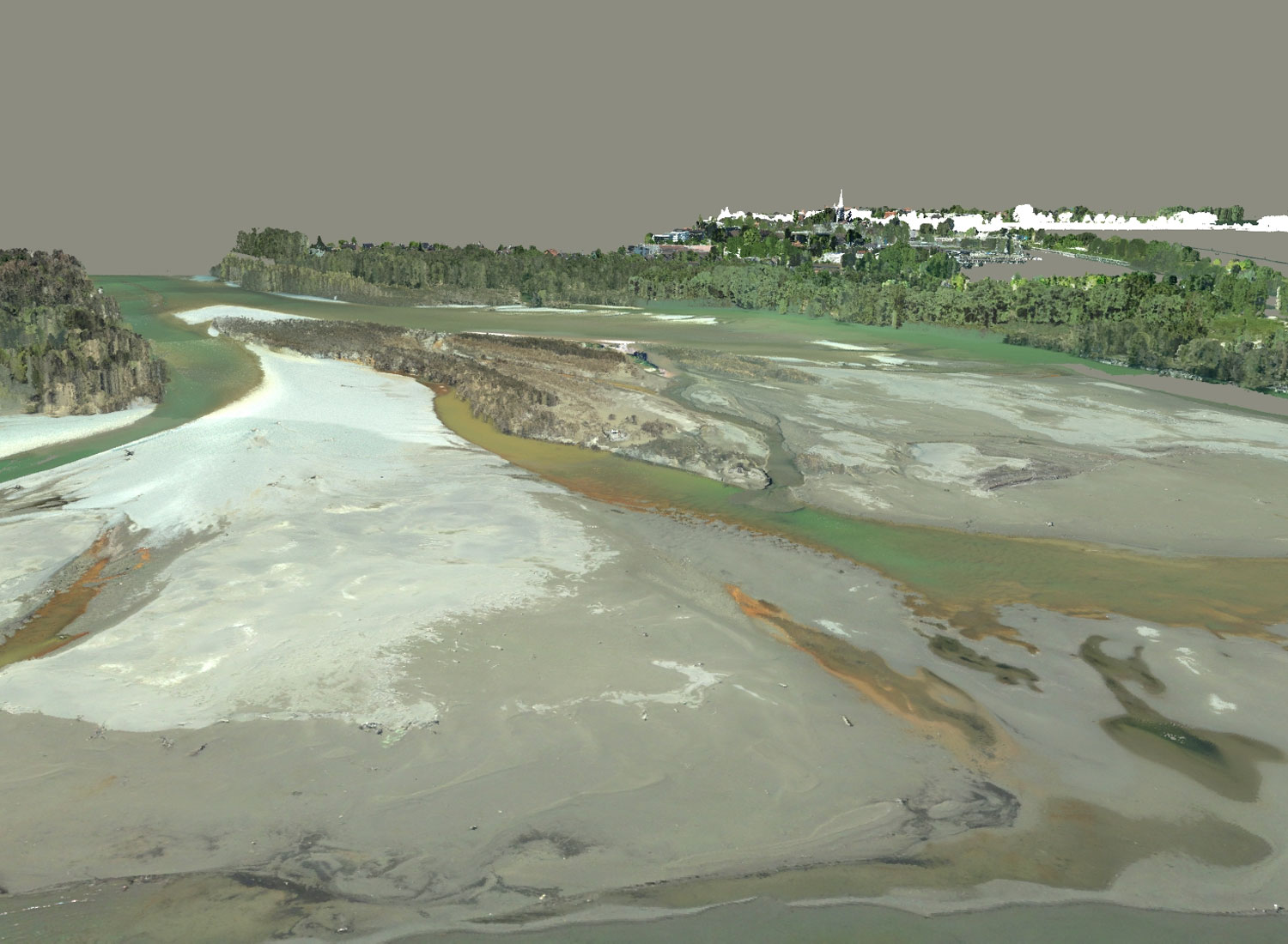
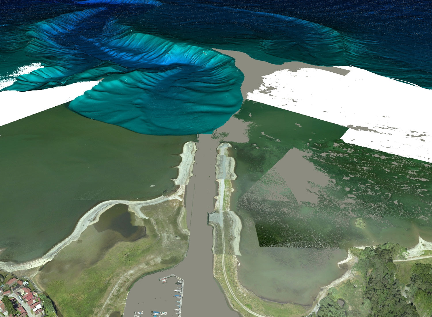
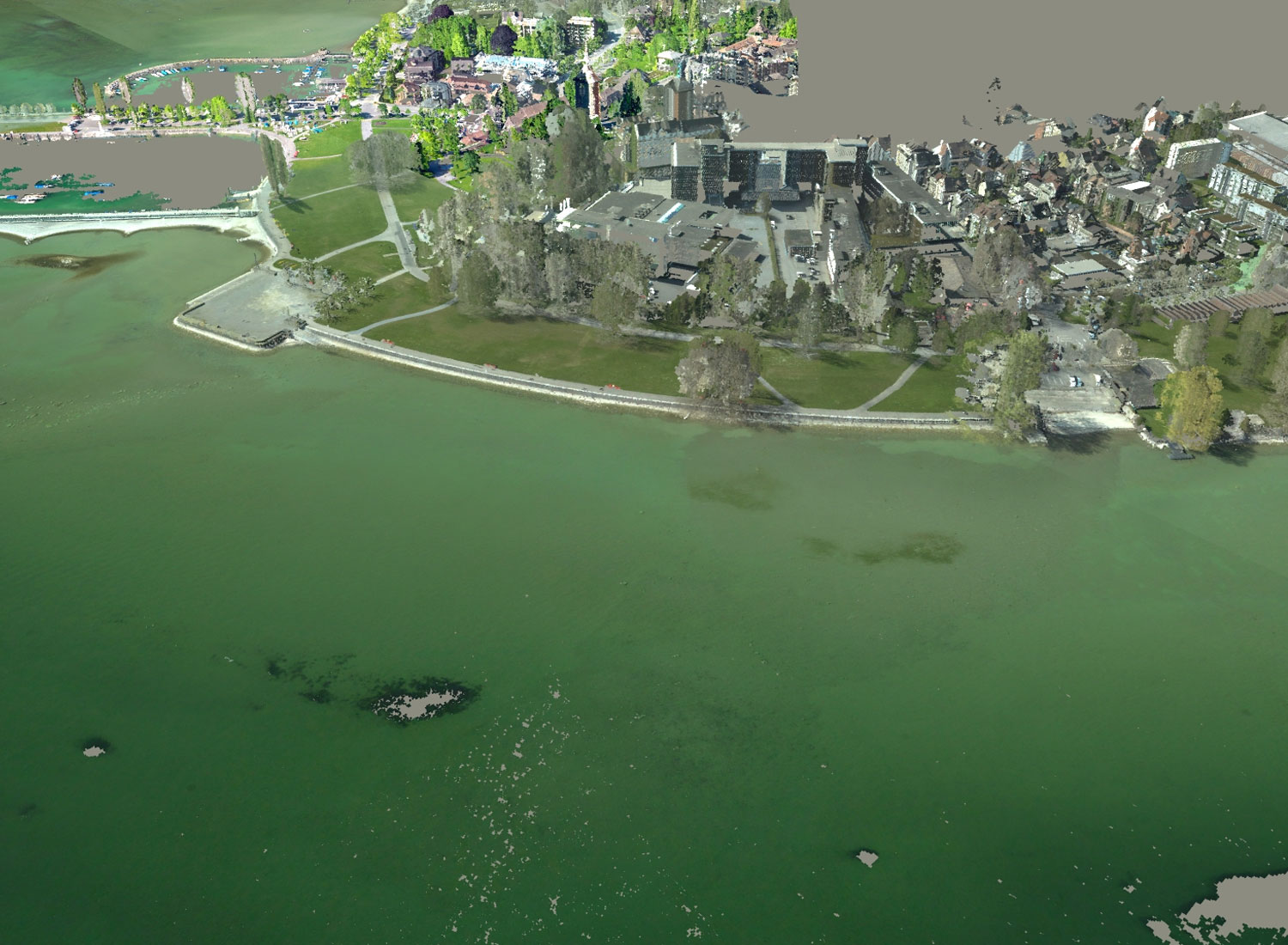
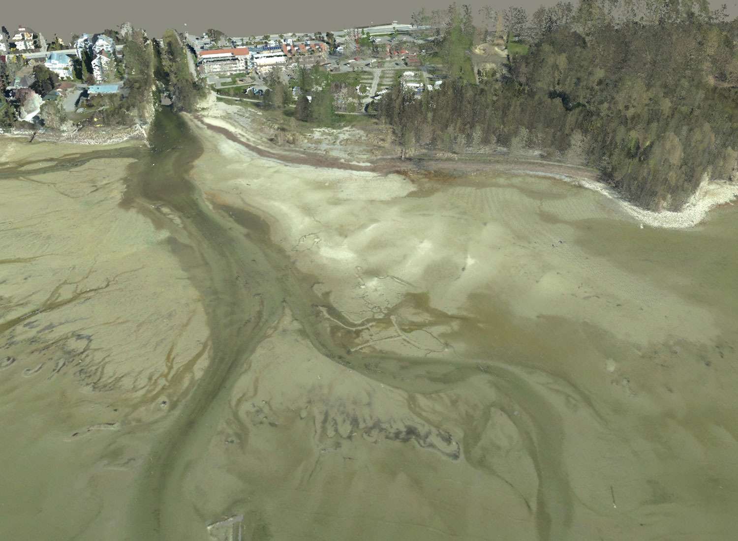
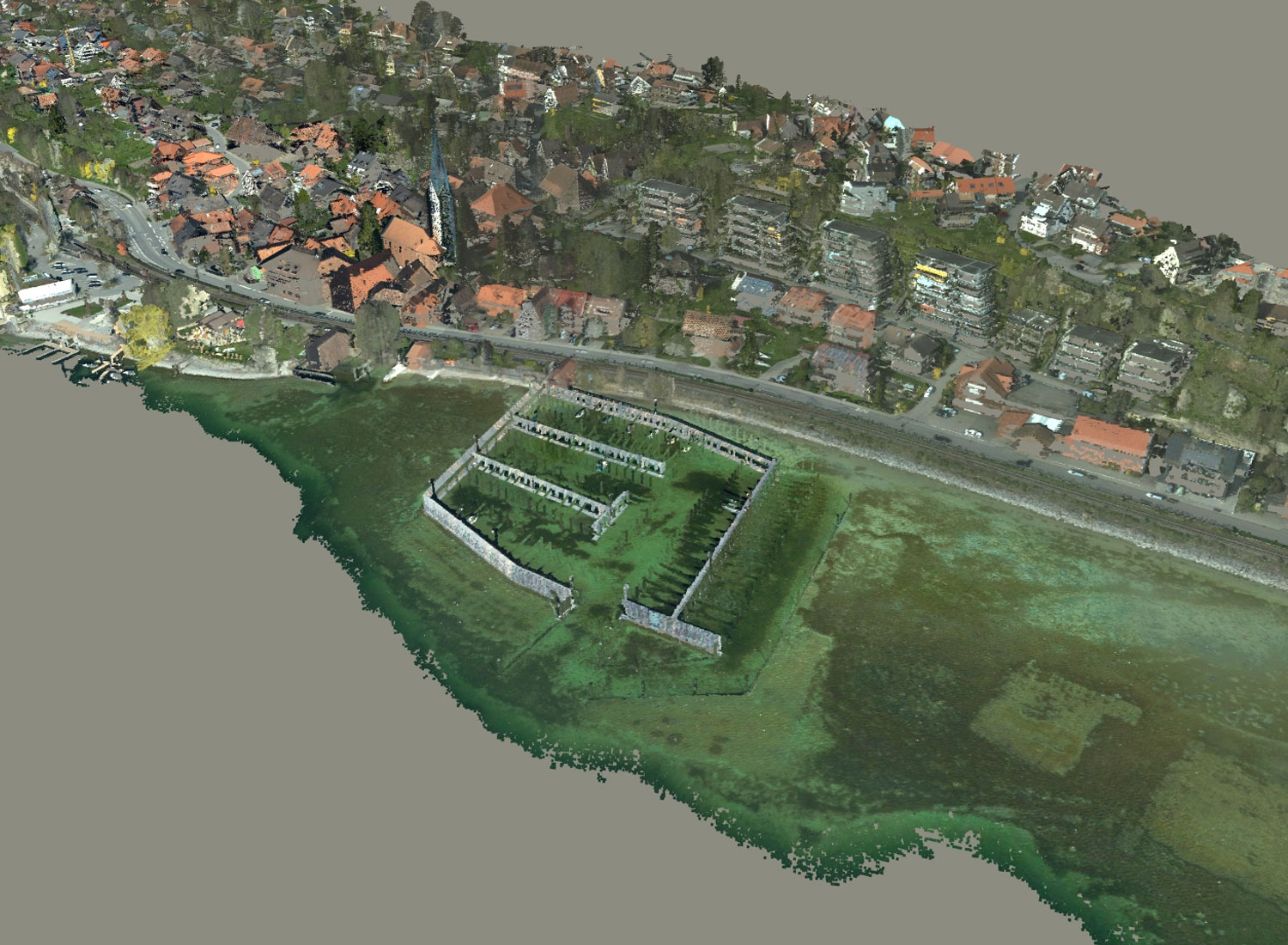
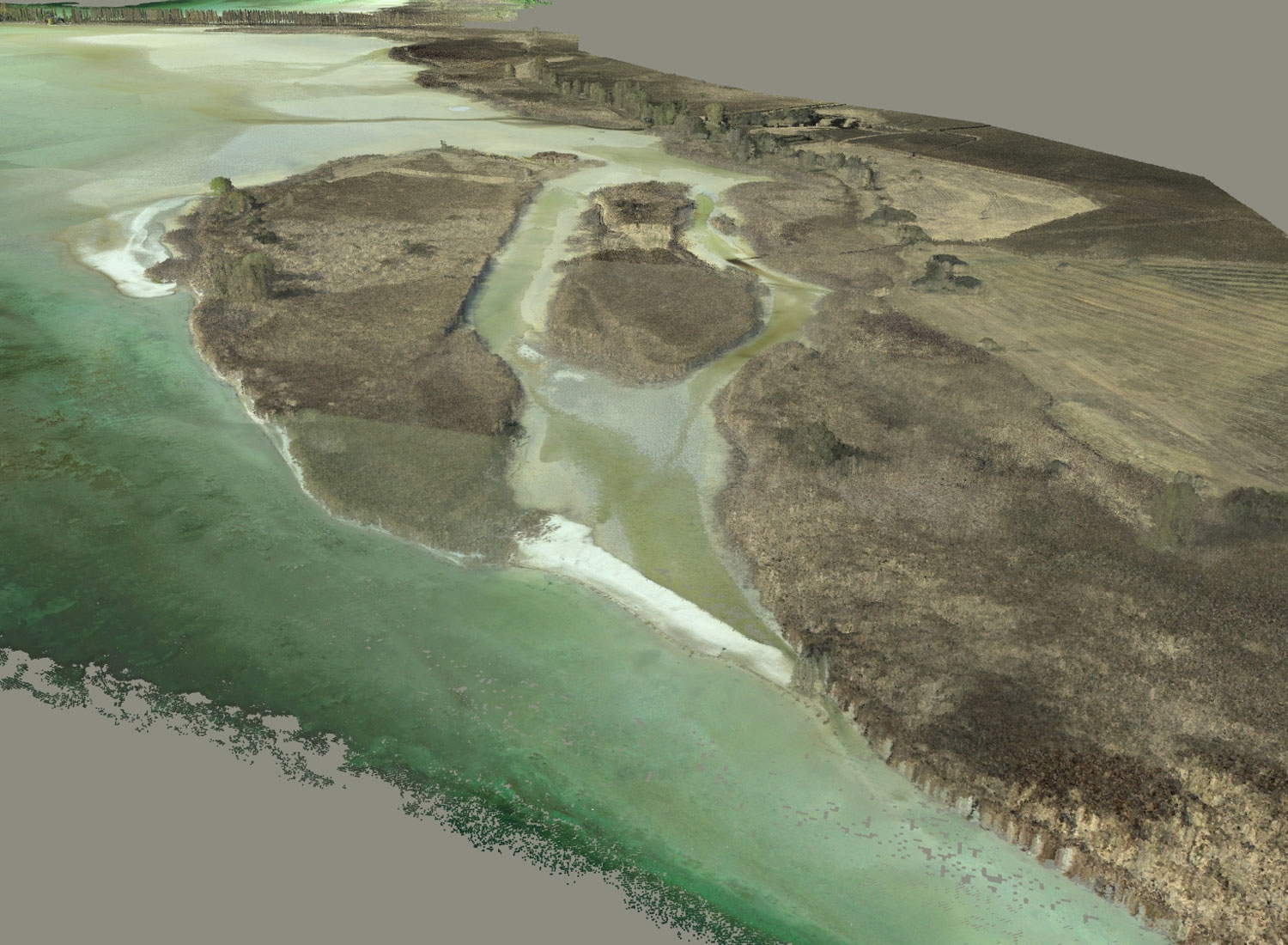
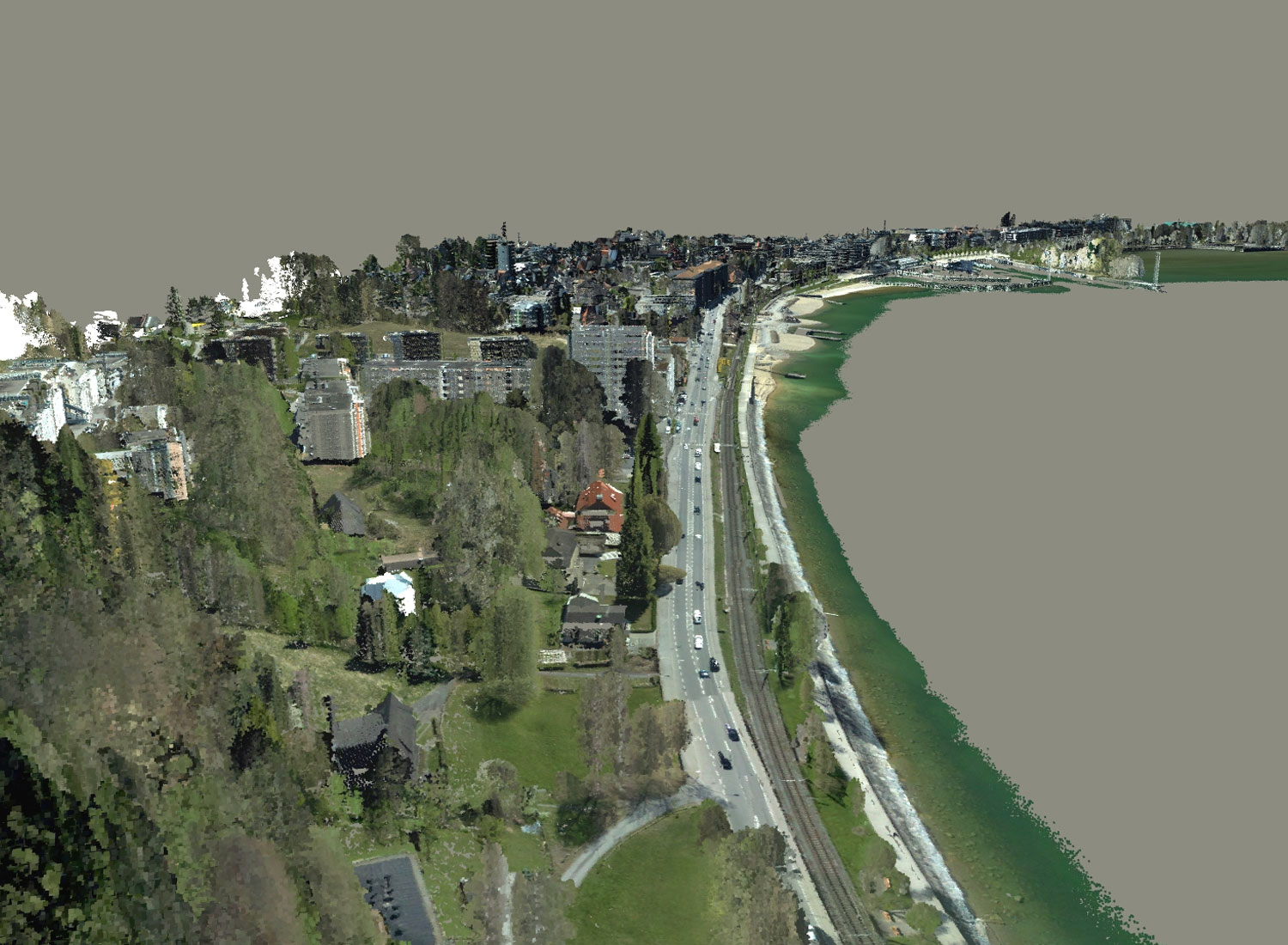
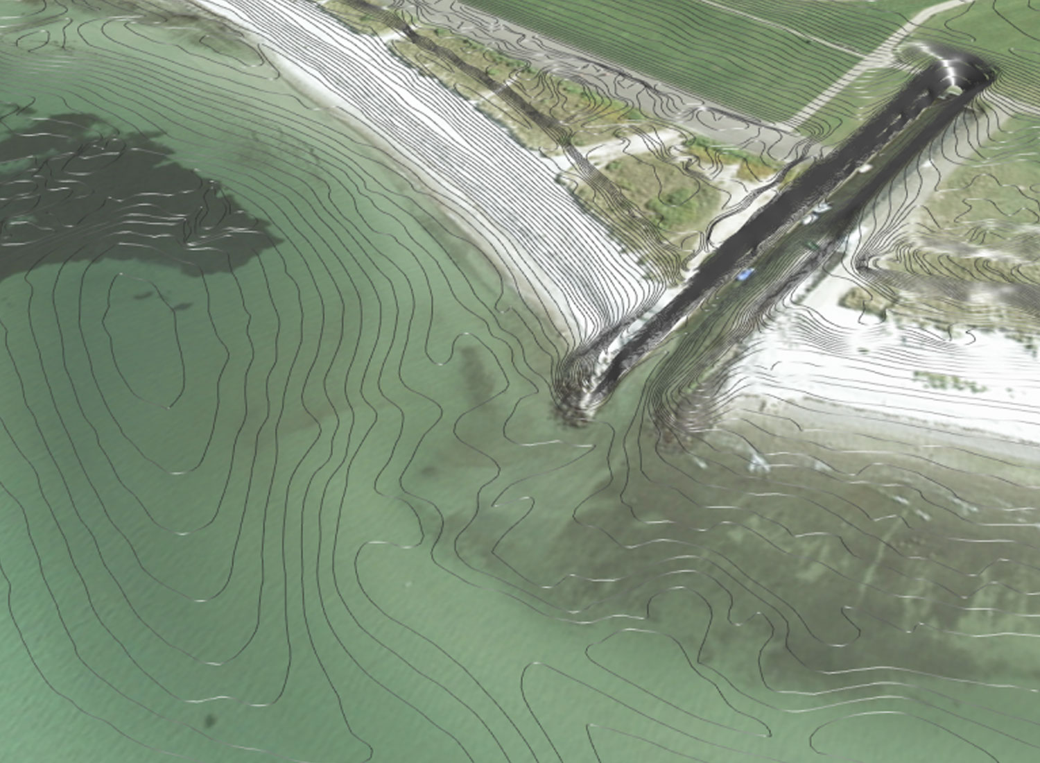
Bodensee: Colorization of the point cloud with orthophotos
Based on the topobathymetric laser data collected within the IGKB project Depth of Field – High Resolution Survey of Lake Constance and parallel generated orthophotos, the true color information of the aerial photographs was mapped onto the laser points and the result was visualized together with the echo-sounder data. This makes interpretation and orientation within the very detailed data sets much easier.